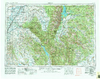
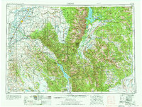
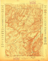
1955 Map of Driggs
USGS Topo · Published 1982About this map
Teton Basin serves as a central corridor in this mid-century topographic record, where the high peaks of the Teton Range meet the agricultural heart of eastern Idaho. The Union Pacific Railroad establishes a vital transport spine through Rexburg and St Anthony, connecting small farming communities like Tetonia and Felt to the regional economy. West of the Continental Divide, the landscape transitions from the jagged elevations of Grand Teton and Mount Moran down to the sprawling waters of Jackson Lake and the National Elk Refuge. To the south, the engineering of the Palisades Reservoir on the South Fork Snake River and the protected habitat of the Grays Lake National Wildlife Refuge illustrate the complex water management of the era. This edition captures the high-mountain wilderness of the Targhee and Bridger National Forests alongside the established town grids of Victor and Driggs.
Find a feature on this map
194 named features on this map. Tap any name to fly to it.
Don’t see what you’re looking for? This feature index may not catch every label — zoom into the map to look around manually.
Map Details
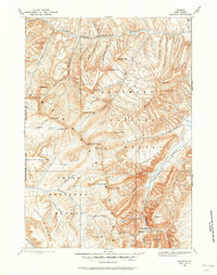
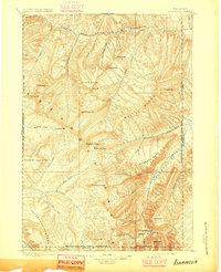
Editions of this 1955 Driggs Map
3 editions found

Other maps of this area

1885 · Lake
USGS Topo · 1:125,000

1886 · Shoshone
USGS Topo · 1:125,000

1888 · Shoshone
USGS Topo · 1:125,000
1893 · Ishawooa
USGS Topo · 1:125,000

1895 · Shoshone
USGS Topo · 1:125,000
1895 · Ishawooa
USGS Topo · 1:125,000

1895 · Lake
USGS Topo · 1:125,000

1896 · Lake
USGS Topo · 1:125,000
1899 · Ishawooa
USGS Topo · 1:125,000

1899 · Grand Teton
USGS Topo · 1:125,000