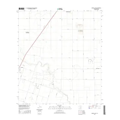
2016 Map of Driscoll East
USGS Topo · Published 2016About this map
Petronila Cr meanders southeast across the coastal plain of Nueces County, defining the drainage patterns of this agricultural landscape just south of Robstown. The survey area is anchored by the community of Driscoll, where a grid of local streets like 7th St and Sunrise Trl meets FM 665. This corridor showcases the transition from larger town boundaries to rural farm-to-market road networks. Near a deep bend in the creek, the Flinn Cem remains a localized point of interest for those tracing early family histories in the area. Further east, the settlement of Petronila marks a quiet intersection of Co Rd 69 and Co Rd 22, while the northern portion of the sheet captures the edge of La Paloma-Lost Creek. The map provides a clear look at the late-twentieth-century road developments that support the region's vast field patterns.
Find a feature on this map
39 named features on this map. Tap any name to fly to it.
Don’t see what you’re looking for? This feature index may not catch every label — zoom into the map to look around manually.
Map Details
Editions of this 2016 Driscoll East Map
This is the sole edition of this map. No revisions or reprints were ever made.
Other maps of this area

1924 · Petronilla
USGS Topo · 1:62,500

1925 · Robstown
USGS Topo · 1:62,500

1950 · Corpus Christi
USGS Topo · 1:250,000

1954 · Orange Grove
USGS Topo · 1:62,500

1954 · Robstown
USGS Topo · 1:62,500

1954 · Kingsville
USGS Topo · 1:62,500

1954 · Petronila
USGS Topo · 1:62,500

1956 · Corpus Christi
USGS Topo · 1:250,000

1960 · Corpus Christi
USGS Topo · 1:250,000

1966 · Corpus Christi
USGS Topo · 1:250,000