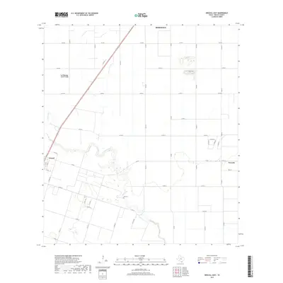
2019 Map of Driscoll East
USGS Topo · Published 2019About this map
Petronila Cr meanders through this portion of Nueces County, defining the drainage patterns and historical property lines between Driscoll and Petronila. The landscape is dominated by a grid of agricultural transit routes, including Fm 665 and numerous county roads like Co RD 73 and Co Rd 18. This network reflects the transition from traditional ranching and farming to more formalized rural development. For those researching local history, the Flinn Cem sits near a bend in the creek, providing a clear genealogical anchor in an otherwise open, field-heavy territory. The proximity of Robstown to the north and the development of La Paloma-Lost Creek illustrate the continued growth of residential clusters along the region's primary transport corridors.
Find a feature on this map
37 named features on this map. Tap any name to fly to it.
Don’t see what you’re looking for? This feature index may not catch every label — zoom into the map to look around manually.
Map Details
Editions of this 2019 Driscoll East Map
This is the sole edition of this map. No revisions or reprints were ever made.
Other maps of this area

1924 · Petronilla
USGS Topo · 1:62,500

1925 · Robstown
USGS Topo · 1:62,500

1950 · Corpus Christi
USGS Topo · 1:250,000

1954 · Orange Grove
USGS Topo · 1:62,500

1954 · Robstown
USGS Topo · 1:62,500

1954 · Kingsville
USGS Topo · 1:62,500

1954 · Petronila
USGS Topo · 1:62,500

1956 · Corpus Christi
USGS Topo · 1:250,000

1960 · Corpus Christi
USGS Topo · 1:250,000

1966 · Corpus Christi
USGS Topo · 1:250,000