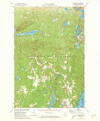
1971 Map of Drummond
USGS Topo · Published 1973About this map
The timber-rich landscape of the Chequamegon National Forest surrounds the settlement of Drummond in this early 1970s topographical record. The town center is defined by its position along the Chicago and North Western railroad line and the shores of Drummond Lake. The mapping details a complex network of glacial kettle lakes and ponds, including the large Pigeon Lake to the west and the elongated Owen Lake to the southeast. A clear Old Railroad Grade cutting through the forest provides evidence of earlier logging infrastructure that once dominated this region of Bayfield County.
Find a feature on this map
37 named features on this map. Tap any name to fly to it.
Don’t see what you’re looking for? This feature index may not catch every label — zoom into the map to look around manually.
Map Details
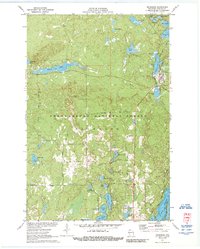
Editions of this 1971 Drummond Map
3 editions found
Other maps of this area

1943 · Namekagon Lake
USGS Topo · 1:48,000

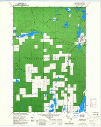
1944 · Drummond
USGS Topo · 1:48,000

1944 · Grandview
USGS Topo · 1:48,000

1944 · Hayward
USGS Topo · 1:48,000

1945 · Namekagon Lake
USGS Topo · 1:48,000

1947 · Drummond
USGS Topo · 1:48,000

1947 · Grandview
USGS Topo · 1:48,000

1953 · Ashland
USGS Topo · 1:250,000

1958 · Ashland
USGS Topo · 1:250,000
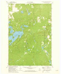
1971 · Upper Eau Claire Lake
USGS Topo · 1:24,000