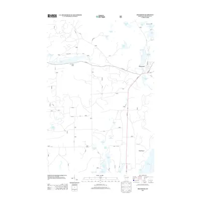
1971 Map of Drummond
USGS Topo · Published 1989About this map
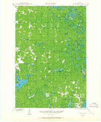
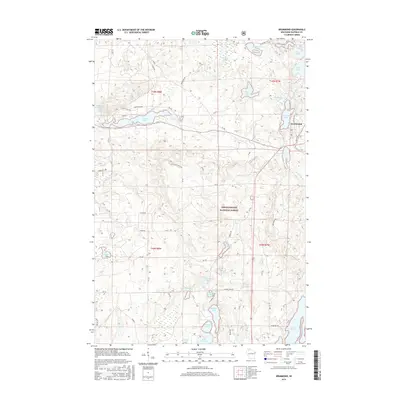
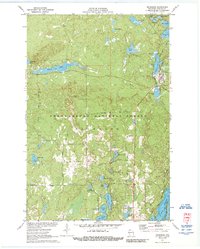
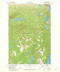
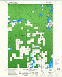
Drummond anchors the northeastern corner of this 1971 survey, serving as a hub for the Chicago and North Western railroad line as it passes through the Chequamegon National Forest. The landscape is a dense network of glacial water bodies, with Drummond Lake and Mill Pond Lake situated immediately adjacent to the town site. Further west, the terrain rises toward Mountain Lake and Pigeon Lake, while a network of forest roads like Bearsdale Road and Birchwood Road provide access to the interior. The map illustrates a region defined by recreational and timber potential, marked by numerous small lakes such as Lake Sixteen and Lake Dinner Camp. A prominent Lookout Tower sits on a high point west of town, reflecting the fire management infrastructure necessary for this heavily forested Wisconsin interior.
Find a feature on this map
36 named features on this map. Tap any name to fly to it.
Don’t see what you’re looking for? This feature index may not catch every label — zoom into the map to look around manually.
Map Details
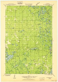
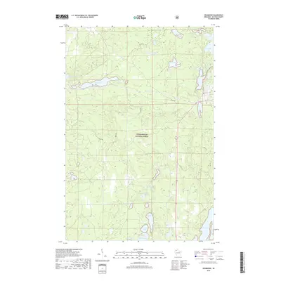
Editions of this 1971 Drummond Map
3 editions found
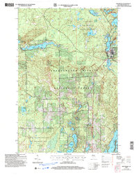
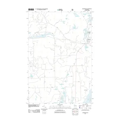
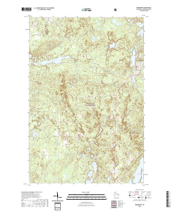
Historical Maps of Drummond Through Time
9 maps found