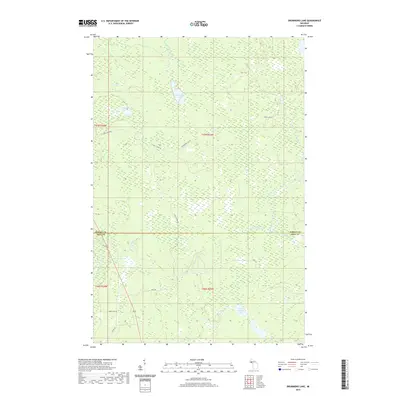
2019 Map of Drummond Lake
USGS Topo · Published 2019About this map
Drummond Lake sits at the heart of this wetland-rich landscape on the border of Baraga and Iron Counties. The 2019 survey documents a complex network of waterways that define the northern woods, where the Murphy River and the East Branch Net River drain the surrounding marshes. The geography is characterized by a high concentration of small lakes and creek systems, including Tracy Lake and the smaller Fox Farm Lake, which suggest a land primarily managed for timber or conservation rather than dense settlement. A sparse network of forest roads such as Drummond Lake Rd and S Tracy Creek Rd provide the only access through the dense wetlands. The map clearly delineates the section lines and township boundaries of the Public Land Survey System, specifically t47n r33w and t46n r33w, providing a precise framework for land ownership research in this quiet corner of the Upper Peninsula.
Find a feature on this map
25 named features on this map. Tap any name to fly to it.
Don’t see what you’re looking for? This feature index may not catch every label — zoom into the map to look around manually.
Map Details
Editions of this 2019 Drummond Lake Map
This is the sole edition of this map. No revisions or reprints were ever made.
Other maps of this area

1895 · Ned Lake
USGS Topo · 1:62,500

1895 · Perch Lake
USGS Topo · 1:62,500

1954 · Perch Lake
USGS Topo · 1:62,500

1954 · Sidnaw
USGS Topo · 1:62,500

1955 · Ned Lake
USGS Topo · 1:62,500

1955 · Herman
USGS Topo · 1:62,500

1958 · Iron River
USGS Topo · 1:250,000

1960 · Iron River
USGS Topo · 1:250,000

1961 · Iron River
USGS Topo · 1:250,000

1967 · Iron River
USGS Topo · 1:250,000