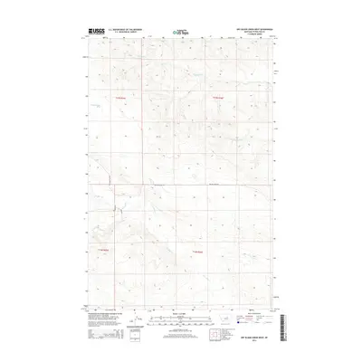
2014 Map of Dry Blood Creek West
USGS Topo · Published 2014About this map
Dry Blood Cr and Box Elder Cr carve through this section of Petroleum County, Montana, defining a landscape marked by intermittent drainages and high divides. The map reveals a remote ranching or grazing environment where water sources like 17N18E19DBDB01 Spring and seasonal flows such as Fords Cr are the primary landmarks. Transportation in the early 21st century follows the high ground, notably along Welter Divide Rd, which separates the northern watersheds from the southern drainages. The grid of the Public Land Survey System remains the dominant human imprint, with township boundaries like t17n r25e and t16n r26e providing the framework for property and navigation in this open country.
Find a feature on this map
12 named features on this map. Tap any name to fly to it.
Don’t see what you’re looking for? This feature index may not catch every label — zoom into the map to look around manually.
Map Details
Editions of this 2014 Dry Blood Creek West Map
This is the sole edition of this map. No revisions or reprints were ever made.
Other maps of this area

1954 · Lewistown
USGS Topo · 1:250,000

1959 · Lewistown
USGS Topo · 1:250,000

1985 · Brown Spring
USGS Topo · 1:24,000

1985 · Bear Creek Reservoir SE
USGS Topo · 1:24,000

1985 · Valentine
USGS Topo · 1:24,000

1986 · Wild Horse Lake
USGS Topo · 1:24,000

1986 · Dry Blood Creek West
USGS Topo · 1:24,000

1986 · Winnett North
USGS Topo · 1:24,000

1986 · Dry Blood Creek East
USGS Topo · 1:24,000

1986 · Teigen
USGS Topo · 1:24,000