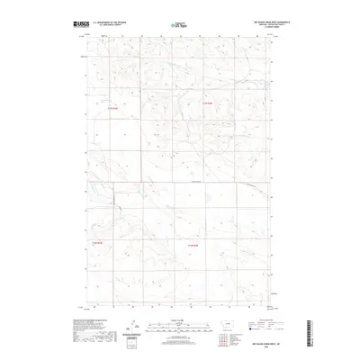
2020 Map of Dry Blood Creek West
USGS Topo · Published 2020About this map
17n18e19dbdb01 Spring and the drainage network of Dry Blood Cr define this Petroleum County landscape. The area is characterized by the convergence of several drainages, including the S Fork Dry Blood Cr, Box Elder Cr, and Fords Cr, which carve through the terrain and create a complex system of ridges and draws. Transportation through this part of Central Montana is concentrated along a handful of routes, most notably Welter Divide Rd and Nunn Rd, which follow the higher ground between watersheds. The map provides a look at the section lines and township boundaries, such as t17n r25e and t16n r26e, illustrating the late-modern land management patterns in a region where water sources and natural topography dictate the movement of people and livestock.
Find a feature on this map
11 named features on this map. Tap any name to fly to it.
Don’t see what you’re looking for? This feature index may not catch every label — zoom into the map to look around manually.
Map Details
Editions of this 2020 Dry Blood Creek West Map
This is the sole edition of this map. No revisions or reprints were ever made.
Other maps of this area

1954 · Lewistown
USGS Topo · 1:250,000

1959 · Lewistown
USGS Topo · 1:250,000

1985 · Brown Spring
USGS Topo · 1:24,000

1985 · Bear Creek Reservoir SE
USGS Topo · 1:24,000

1985 · Valentine
USGS Topo · 1:24,000

1986 · Wild Horse Lake
USGS Topo · 1:24,000

1986 · Dry Blood Creek West
USGS Topo · 1:24,000

1986 · Winnett North
USGS Topo · 1:24,000

1986 · Dry Blood Creek East
USGS Topo · 1:24,000

1986 · Teigen
USGS Topo · 1:24,000