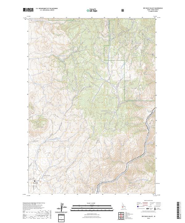
2024 Map of Dry Buck Valley
USGS Topo · Published 2024About this map
Dry Buck Valley and the surrounding high country of the Boise National Forest define this landscape north of the Payette River. The map focuses on a series of ridges and drainage basins, including the Dry Buck Mtn and Timber Butte summits. A significant network of Forest Service roads, such as Nfdr 643 RD and Nat For Dev RD 071, provides access to the backcountry, while established routes like Horseshoe Bend Rd follow the river valley.
Find a feature on this map
46 named features on this map. Tap any name to fly to it.
Don’t see what you’re looking for? This feature index may not catch every label — zoom into the map to look around manually.
Map Details
Editions of this 2024 Dry Buck Valley Map
This is the sole edition of this map. No revisions or reprints were ever made.
Other maps of this area

1892 · Boise
USGS Topo · 1:125,000

1894 · Squaw Creek
USGS Topo · 1:125,000

1897 · Boise
USGS Topo · 1:125,000

1953 · Banks
USGS Topo · 1:62,500

1953 · Montour
USGS Topo · 1:62,500

1955 · Baker
USGS Topo · 1:250,000

1955 · Boise
USGS Topo · 1:250,000

1957 · Horseshoe Bend
USGS Topo · 1:24,000
1957 · Harris Creek Summit
USGS Topo · 1:24,000

1958 · Boise
USGS Topo · 1:250,000