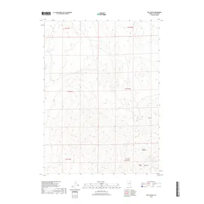
2018 Map of Dry Canyon
USGS Topo · Published 2018About this map
The Delano Mountains dominate the southeastern landscape of this Elko County quadrangle, where the high-altitude terrain reveals a complex network of seasonal drainages and named peaks. The presence of Mine Mtn suggests a history of mineral exploration in the region, situated just north of the dramatic descent into Dry Canyon and Division Canyon. Water is a critical and scarce resource in this arid environment, marked by the presence of Cold Spring near the eastern boundary and the headwaters of Boulder Cr and Rock Spring Cr in the northwest. This 2018 survey provides a clear view of the Public Land Survey System township and range lines that grid this high desert, highlighting the prominence of landmarks like Round Top for navigation across the open range.
Find a feature on this map
14 named features on this map. Tap any name to fly to it.
Don’t see what you’re looking for? This feature index may not catch every label — zoom into the map to look around manually.
Map Details
Editions of this 2018 Dry Canyon Map
This is the sole edition of this map. No revisions or reprints were ever made.
Other maps of this area

1955 · Wells
USGS Topo · 1:250,000

1958 · Wells
USGS Topo · 1:250,000

1961 · Wells
USGS Topo · 1:250,000

1961 · Delano Mountains
USGS Topo · 1:62,500

1961 · Gollaher Mountain
USGS Topo · 1:62,500

1961 · Goose Creek
USGS Topo · 1:62,500

1961 · Dairy Valley
USGS Topo · 1:62,500
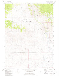
1980 · Dry Canyon
USGS Topo · 1:24,000

1982 · Jackpot
USGS Topo · 1:100,000
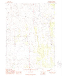
1989 · Mustang Draw
USGS Topo · 1:24,000