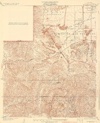
1932 Map of Dry Canyon
USGS Topo · Published 1932About this map
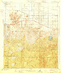
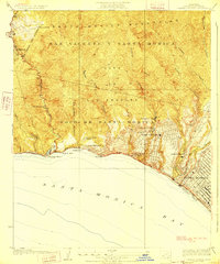
Santa Monica Mountains and the southwestern edge of the San Fernando Valley meet in this early 1930s survey, showing a landscape on the cusp of suburban transformation. The early agricultural layout of the Escorpion and Ex Mission San Fernando ranchos is visible through the emerging street grids of Canoga Park and Girard. While major thoroughfares like Victory Boulevard and Ventura Boulevard were already established, much of the terrain south of the Los Angeles City Boundary remains defined by its topography. The map details the winding course of the Mulholland Highway as it snakes through the hills, connecting small foothill communities like Calabasas Highlands and the remote Mohn Springs. Local educational history is anchored by the Calabasas School, situated near the junction of U S Highway No 101 and the creek at Dry Canyon.
Find a feature on this map
34 named features on this map. Tap any name to fly to it.
Don’t see what you’re looking for? This feature index may not catch every label — zoom into the map to look around manually.
Map Details
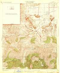
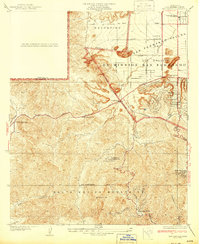
Editions of this 1932 Dry Canyon Map
3 editions found
Other maps of this area

1903 · Calabasas
USGS Topo · 1:62,500

1903 · Camulos
USGS Topo · 1:125,000

1925 · Chatsworth
USGS Topo · 1:24,000

1927 · Chatsworth
USGS Topo · 1:24,000
1928 · Zelzah
USGS Topo · 1:24,000

1928 · Dry Canyon
USGS Topo · 1:24,000
1928 · Reseda
USGS Topo · 1:24,000
1928 · Topanga Canyon
USGS Topo · 1:24,000
1929 · Zelzah
USGS Topo · 1:24,000
1929 · Chatsworth
USGS Topo · 1:24,000