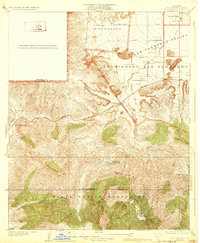
1932 Map of Dry Canyon
USGS Topo · Published 1932About this map
The Santa Monica Mountains meet the southern edge of the San Fernando Valley in this early 1930s depiction of the western Los Angeles periphery. The landscape is defined by large historical land grants like Escorpion and Ex Mission San Fernando, which transition from the flat agricultural valley floor into the steep, winding terrain of Topanga Canyon. Early motor-age development is evident along the Ventura Boulevard corridor, where the small settlement of Calabasas and the rural Calabasas School serve a sparsely populated ranching and residential district. To the south, the subdivision of Calabasas Highlands and the community at Topanga Park illustrate the early 20th-century push into the foothills. The map captures the original alignment of the Mulholland Highway and U S Highway No 101 before modern freeway construction fundamentally altered the local topography and drainage, such as Dry Canyon and Stokes Canyon.
Find a feature on this map
32 named features on this map. Tap any name to fly to it.
Don’t see what you’re looking for? This feature index may not catch every label — zoom into the map to look around manually.
Map Details
Editions of this 1932 Dry Canyon Map
3 editions found
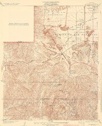
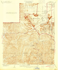
Other maps of this area

1903 · Calabasas
USGS Topo · 1:62,500

1903 · Camulos
USGS Topo · 1:125,000

1925 · Chatsworth
USGS Topo · 1:24,000

1927 · Chatsworth
USGS Topo · 1:24,000
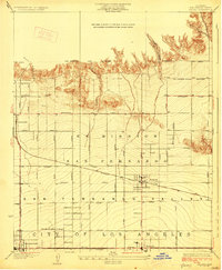
1928 · Zelzah
USGS Topo · 1:24,000

1928 · Dry Canyon
USGS Topo · 1:24,000
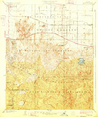
1928 · Reseda
USGS Topo · 1:24,000
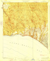
1928 · Topanga Canyon
USGS Topo · 1:24,000
1929 · Zelzah
USGS Topo · 1:24,000
1929 · Chatsworth
USGS Topo · 1:24,000