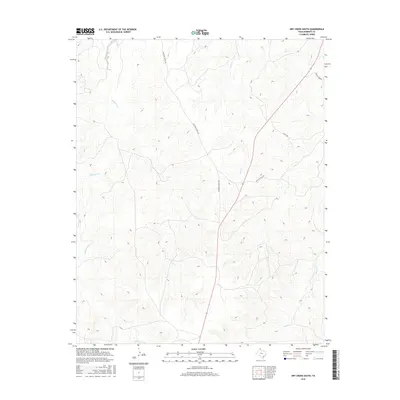
2016 Map of Dry Creek South
USGS Topo · Published 2016About this map
Tallahone Creek and its surrounding drainages define this stretch of Roberts County, where the Texas Panhandle landscape is shaped by the seasonal flow of Tallahone Cr and the deeply carved path of Dry Cr. In 2016, this region remains characterized by expansive ranching operations, accessible via long-established corridors such as Reynolds Ranch Rd and Lederick Hdqr Rd. The map illustrates the subtle topographies of the High Plains, where the terrain breaks toward the north and east into a complex network of draws including Chicken Cr. While modern in its data, the map preserves the names of ranching infrastructure and local landmarks that have grounded this community for generations, such as Antelope Hills Rd and Catfish Rd, providing a clear view of the rural road network and water distribution across the plains.
Find a feature on this map
7 named features on this map. Tap any name to fly to it.
Don’t see what you’re looking for? This feature index may not catch every label — zoom into the map to look around manually.
Map Details
Editions of this 2016 Dry Creek South Map
This is the sole edition of this map. No revisions or reprints were ever made.
Other maps of this area

1954 · Amarillo
USGS Topo · 1:250,000

1958 · Amarillo
USGS Topo · 1:250,000

1971 · Dry Creek South
USGS Topo · 1:24,000

1971 · Dry Creek SE
USGS Topo · 1:24,000

1971 · Skellytown NE
USGS Topo · 1:24,000

1971 · Dry Creek NE
USGS Topo · 1:24,000

1971 · Dry Creek North
USGS Topo · 1:24,000

1971 · Pampa NW
USGS Topo · 1:24,000

1971 · Garden Springs
USGS Topo · 1:24,000

1971 · Adobe Creek SE
USGS Topo · 1:24,000