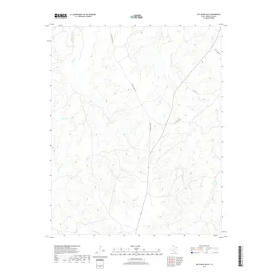
2019 Map of Dry Creek South
USGS Topo · Published 2019About this map
The rolling drainage basins of Roberts County are defined by several key watercourses, most notably Tallahone Cr which winds through the western portion of this landscape. The terrain is characterized by intricate elevation contours that reveal the complex draws and ridges typical of the Texas Panhandle. Moving eastward, the topography is shaped by the paths of Dry Cr and Chicken Cr, illustrating the natural watershed patterns that have long influenced ranching and land use in this part of the state.
Find a feature on this map
7 named features on this map. Tap any name to fly to it.
Don’t see what you’re looking for? This feature index may not catch every label — zoom into the map to look around manually.
Map Details
Editions of this 2019 Dry Creek South Map
This is the sole edition of this map. No revisions or reprints were ever made.
Other maps of this area

1954 · Amarillo
USGS Topo · 1:250,000

1958 · Amarillo
USGS Topo · 1:250,000

1971 · Dry Creek South
USGS Topo · 1:24,000

1971 · Dry Creek SE
USGS Topo · 1:24,000

1971 · Skellytown NE
USGS Topo · 1:24,000

1971 · Dry Creek NE
USGS Topo · 1:24,000

1971 · Dry Creek North
USGS Topo · 1:24,000

1971 · Pampa NW
USGS Topo · 1:24,000

1971 · Garden Springs
USGS Topo · 1:24,000

1971 · Adobe Creek SE
USGS Topo · 1:24,000