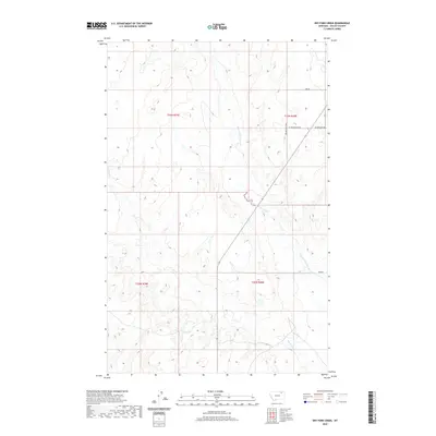
2020 Map of Dry Fork Creek
USGS Topo · Published 2020About this map
Dry Fork Creek and its seasonal drainages define this quiet expanse of the Frazer District in Valley County. The landscape is characterized by its drainage network, particularly the West Fork Porcupine Creek which winds through the eastern sections. Human presence is marked by a sparse but essential grid of named country roads, such as Golden Valley Road and Sand Road, which provide access across the township lines of T33N and T32N. The map reveals the intricate topographic character of the northern Montana plains, where narrow coulees and creek beds are the primary landmarks. This survey serves as a clear record of land divisions and rural infrastructure, capturing the open-range character of the region where West Meadowlark Road and Meadowlark Road intersect the upland terrain.
Find a feature on this map
11 named features on this map. Tap any name to fly to it.
Don’t see what you’re looking for? This feature index may not catch every label — zoom into the map to look around manually.
Map Details
Editions of this 2020 Dry Fork Creek Map
This is the sole edition of this map. No revisions or reprints were ever made.
Other maps of this area

1918 · Porcupine Valley
USGS Topo · 1:62,500

1919 · Boundary
USGS Topo · 1:125,000

1943 · Glasgow
USGS Topo · 1:125,000

1954 · Glasgow
USGS Topo · 1:250,000

1957 · Glasgow
USGS Topo · 1:250,000

1958 · Glasgow
USGS Topo · 1:250,000

1969 · Cornwell Reservoir
USGS Topo · 1:24,000

1969 · Chapman Coulee NE
USGS Topo · 1:24,000

1973 · Baylor
USGS Topo · 1:24,000

1973 · Cameron Point
USGS Topo · 1:24,000