
1969 Map of Cornwell Reservoir
USGS Topo · Published 1972About this map
Water sources dictate the landscape of this Valley County region, mapped as part of a Missouri River Basin development program. The Cornwell Reservoir serves as a primary landmark in a territory defined by intermittent drainages and essential groundwater access. Numerous named springs, including Vandalia Spring, Burke Spring, and Wire Spring, suggest the critical importance of reliable water for livestock in this rangeland during the late 1960s.
Find a feature on this map
19 named features on this map. Tap any name to fly to it.
Don’t see what you’re looking for? This feature index may not catch every label — zoom into the map to look around manually.
Map Details
Editions of this 1969 Cornwell Reservoir Map
This is the sole edition of this map. No revisions or reprints were ever made.
Other maps of this area

1919 · Boundary
USGS Topo · 1:125,000

1943 · Glasgow
USGS Topo · 1:125,000

1954 · Glasgow
USGS Topo · 1:250,000

1957 · Glasgow
USGS Topo · 1:250,000

1958 · Glasgow
USGS Topo · 1:250,000

1969 · Chapman Coulee NE
USGS Topo · 1:24,000
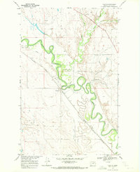
1969 · Tampico
USGS Topo · 1:24,000
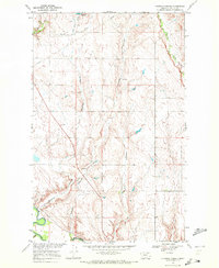
1969 · Chapman Coulee
USGS Topo · 1:24,000
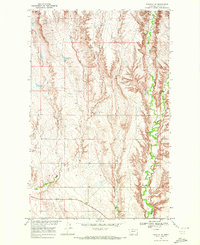
1969 · Tampico NE
USGS Topo · 1:24,000

1969 · Hawk Coulee
USGS Topo · 1:24,000