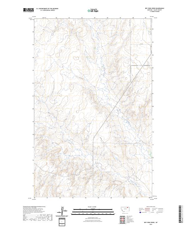
2024 Map of Dry Fork Creek
USGS Topo · Published 2024About this map
Kerr Cow Camp and the small settlement of Baylor anchor this remote section of northern Montana, where the ranching economy is etched into the landscape through scattered reservoirs and camps. The drainage of Dry Fork Creek and the West Fork Porcupine Creek dictate the local topography, with the terrain rising toward points like Cameron Point and the designated Lookout. A network of gravel and dirt routes, including Golden Valley Rd and Sand Rd, provides the primary access through these vast grazing lands. The map records a series of essential water management features such as Wards Dam, Forsman Reservoir, and Cornwell Reservoir, which are vital for supporting livestock in this arid environment north of the Missouri River.
Find a feature on this map
18 named features on this map. Tap any name to fly to it.
Don’t see what you’re looking for? This feature index may not catch every label — zoom into the map to look around manually.
Map Details
Editions of this 2024 Dry Fork Creek Map
This is the sole edition of this map. No revisions or reprints were ever made.
Other maps of this area

1918 · Porcupine Valley
USGS Topo · 1:62,500

1919 · Boundary
USGS Topo · 1:125,000

1943 · Glasgow
USGS Topo · 1:125,000

1954 · Glasgow
USGS Topo · 1:250,000

1957 · Glasgow
USGS Topo · 1:250,000

1958 · Glasgow
USGS Topo · 1:250,000

1969 · Cornwell Reservoir
USGS Topo · 1:24,000

1969 · Chapman Coulee NE
USGS Topo · 1:24,000

1973 · Baylor
USGS Topo · 1:24,000

1973 · Cameron Point
USGS Topo · 1:24,000