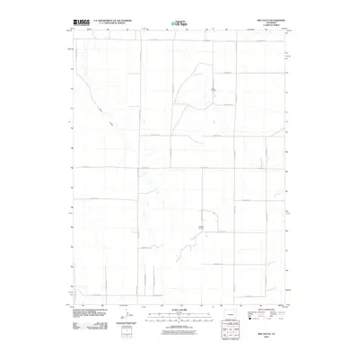
2010 Map of Dry Gulch
USGS Topo · Published 2010About this map
Sand Creek and its seasonal tributaries carve a network of drainage channels through this section of the high plains in eastern Colorado. The landscape is defined by a rigid section-line grid of rural roads, including County Rd-21 and County Road P, which facilitate movement between sparse agricultural and industrial outposts. Local history is anchored by the Abbott Cemetery in the northeastern quadrant, while the Roderick Oil Field further south highlights the region's extraction industry. This survey reveals how water and energy resources dictate the utility of the land, as drainage from Dry Gulch and Vega Creek crosses the rectilinear transportation paths that connect these remote homesteads and oil operations.
Find a feature on this map
25 named features on this map. Tap any name to fly to it.
Don’t see what you’re looking for? This feature index may not catch every label — zoom into the map to look around manually.
Map Details
Editions of this 2010 Dry Gulch Map
This is the sole edition of this map. No revisions or reprints were ever made.
Other maps of this area

1954 · Limon
USGS Topo · 1:250,000

1957 · Limon
USGS Topo · 1:250,000

1958 · Limon
USGS Topo · 1:250,000

1973 · Woodrow
USGS Topo · 1:24,000

1973 · Antelope Creek East
USGS Topo · 1:24,000

1973 · Antelope Creek West
USGS Topo · 1:24,000

1973 · Dry Gulch
USGS Topo · 1:24,000

1973 · Lindon NE
USGS Topo · 1:24,000

1973 · Antelope Creek SE
USGS Topo · 1:24,000

1973 · Lindon
USGS Topo · 1:24,000