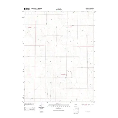
2013 Map of Dry Gulch
USGS Topo · Published 2013About this map
The high plains of Washington County are defined here by a series of north-flowing drainages including Vega Cr and Sand Cr, which carve through the plateau. This landscape is marked by a legacy of rural infrastructure, where a strict grid of county roads—stretching from CO Road 13 in the south to CO Road 21 in the north—bisects the drainage basins. Cultural landmarks are sparse but significant, most notably the Abbott Cem and the industrial presence of the Roderick Oil Field. The namesake Dry Gulch area shows the characteristic isolation of eastern Colorado ranching and resource land, where the topography of the gulches dictated the placement of early homesteads and modern oil exploration.
Find a feature on this map
19 named features on this map. Tap any name to fly to it.
Don’t see what you’re looking for? This feature index may not catch every label — zoom into the map to look around manually.
Map Details
Editions of this 2013 Dry Gulch Map
This is the sole edition of this map. No revisions or reprints were ever made.
Other maps of this area

1954 · Limon
USGS Topo · 1:250,000

1957 · Limon
USGS Topo · 1:250,000

1958 · Limon
USGS Topo · 1:250,000

1973 · Woodrow
USGS Topo · 1:24,000

1973 · Antelope Creek East
USGS Topo · 1:24,000

1973 · Antelope Creek West
USGS Topo · 1:24,000

1973 · Dry Gulch
USGS Topo · 1:24,000

1973 · Lindon NE
USGS Topo · 1:24,000

1973 · Antelope Creek SE
USGS Topo · 1:24,000

1973 · Lindon
USGS Topo · 1:24,000