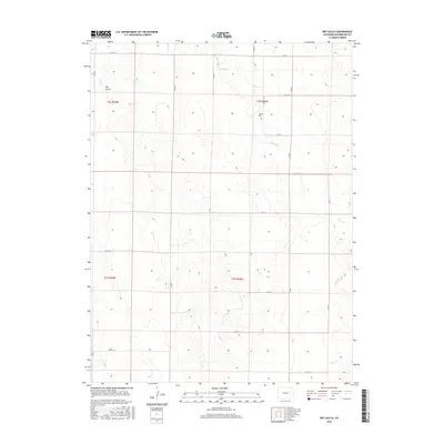
2016 Map of Dry Gulch
USGS Topo · Published 2016About this map
The Abbott Cem stands as a lonely landmark within this rural portion of Washington County, reflecting the sparse settlement patterns of the High Plains. The landscape is defined by the ephemeral drainage systems of Sand Cr, Vega Cr, and the namesake Dry Gulch, which carve subtle topography through the agricultural sections. A rigid grid of county roads, including Co Rd 21 and Co RD 13.5, dictates the movement across the terrain, illustrating the precise rectangular survey system that partitioned this region for homesteading and ranching. This particular area, spanning Townships t2s r55w, t2s r54w, t3s r55w, and t3s r54w, shows a environment where human activity is closely tied to the available water courses and the maintained section lines of the rural road network.
Find a feature on this map
25 named features on this map. Tap any name to fly to it.
Don’t see what you’re looking for? This feature index may not catch every label — zoom into the map to look around manually.
Map Details
Editions of this 2016 Dry Gulch Map
This is the sole edition of this map. No revisions or reprints were ever made.
Other maps of this area

1954 · Limon
USGS Topo · 1:250,000

1957 · Limon
USGS Topo · 1:250,000

1958 · Limon
USGS Topo · 1:250,000

1973 · Woodrow
USGS Topo · 1:24,000

1973 · Antelope Creek East
USGS Topo · 1:24,000

1973 · Antelope Creek West
USGS Topo · 1:24,000

1973 · Dry Gulch
USGS Topo · 1:24,000

1973 · Lindon NE
USGS Topo · 1:24,000

1973 · Antelope Creek SE
USGS Topo · 1:24,000

1973 · Lindon
USGS Topo · 1:24,000