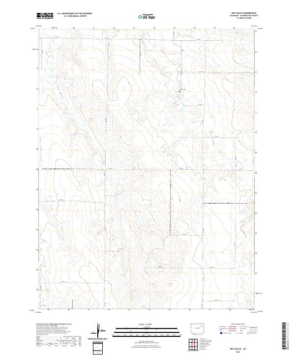
2022 Map of Dry Gulch
USGS Topo · Published 2022About this map
Abbott Cem stands as a focal point for genealogical research in this rural portion of Washington County, situated north of the ephemeral Sand Cr drainage. The landscape is defined by the high plains of Eastern Colorado, where a strictly rectangular grid of county roads, including Co RD 21 and Co RD S, partitions the land into large sections for agricultural and ranching use. Apart from the central cemetery, the terrain is characterized by the winding paths of Dry Gulch and Vega Cr, which cut through the open country. This 2022 survey documents the persistent rural structure of the region, showing how the land remains organized by the Public Land Survey System even as the natural watercourses follow their own erratic courses through the townships of t2s r54w and t3s r55w.
Find a feature on this map
25 named features on this map. Tap any name to fly to it.
Don’t see what you’re looking for? This feature index may not catch every label — zoom into the map to look around manually.
Map Details
Editions of this 2022 Dry Gulch Map
This is the sole edition of this map. No revisions or reprints were ever made.
Other maps of this area

1954 · Limon
USGS Topo · 1:250,000

1957 · Limon
USGS Topo · 1:250,000

1958 · Limon
USGS Topo · 1:250,000

1973 · Woodrow
USGS Topo · 1:24,000

1973 · Antelope Creek East
USGS Topo · 1:24,000

1973 · Antelope Creek West
USGS Topo · 1:24,000

1973 · Dry Gulch
USGS Topo · 1:24,000

1973 · Lindon NE
USGS Topo · 1:24,000

1973 · Antelope Creek SE
USGS Topo · 1:24,000

1973 · Lindon
USGS Topo · 1:24,000