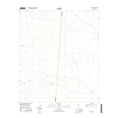
2016 Map of Dry Lake
USGS Topo · Published 2016About this map
Dry Lake and the drainage network of the Trans-Pecos region define this arid landscape along the border of Culberson and Reeves Counties. The ephemeral nature of the water system is evident in features like Cottonwood Cr, which winds through the southern terrain, and the intermittent basins of Dutch Draw and Incline Draw. This 2016 survey captures the high-desert character of west Texas, where topography is dictated by seasonal runoff and long-established ranching access.
Find a feature on this map
8 named features on this map. Tap any name to fly to it.
Don’t see what you’re looking for? This feature index may not catch every label — zoom into the map to look around manually.
Map Details
Editions of this 2016 Dry Lake Map
This is the sole edition of this map. No revisions or reprints were ever made.
Other maps of this area

1921 · Toyah
USGS Topo · 1:125,000

1928 · Kent
USGS Topo · 1:125,000

1954 · Van Horn
USGS Topo · 1:250,000

1954 · Pecos
USGS Topo · 1:250,000

1957 · Pecos
USGS Topo · 1:250,000

1958 · Van Horn
USGS Topo · 1:250,000

1968 · Threemile Draw
USGS Topo · 1:24,000

1968 · W T Ranch
USGS Topo · 1:24,000
1970 · Toyah NW
USGS Topo · 1:24,000

1973 · Rustler Hills
USGS Topo · 1:24,000