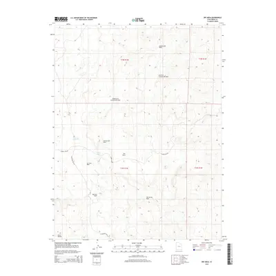
2014 Map of Dry Mesa
USGS Topo · Published 2014About this map
Dry Mesa characterizes this high desert landscape in Emery County, where a network of ephemeral drainages carves through the arid plateau. The hydrology of the region is defined by the Summerville Wash and its various tributaries, including the Left Fork Summerville Wash and Middle Fork Summerville Wash. Sparse water management features like Saleratus Reservoir and Smith Pond indicate the critical importance of water storage in this environment.
Find a feature on this map
17 named features on this map. Tap any name to fly to it.
Don’t see what you’re looking for? This feature index may not catch every label — zoom into the map to look around manually.
Map Details
Editions of this 2014 Dry Mesa Map
This is the sole edition of this map. No revisions or reprints were ever made.
Other maps of this area

1886 · Price River
USGS Topo · 1:250,000

1896 · Price River
USGS Topo · 1:250,000

1948 · Woodside
USGS Topo · 1:62,500

1949 · Woodside
USGS Topo · 1:62,500

1950 · Woodside
USGS Topo · 1:62,500

1953 · Red Plateau SE
USGS Topo · 1:24,000

1953 · Beckwith Peak SW
USGS Topo · 1:24,000

1956 · Price
USGS Topo · 1:250,000

1960 · Price
USGS Topo · 1:250,000

1962 · Price
USGS Topo · 1:250,000