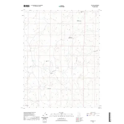
2020 Map of Dry Mesa
USGS Topo · Published 2020About this map
Dry Mesa dominates this Emery County landscape, where the high desert terrain is carved by an intricate network of drainage systems. The presence of Saleratus Reservoir and Smith Pond highlights the vital importance of water management in this arid environment, providing localized catchment points amidst the surrounding plateaus. The map traces the historical path of the Green River Cutoff Rd, a route that connects this high ground to the broader regional travel network.
Find a feature on this map
13 named features on this map. Tap any name to fly to it.
Don’t see what you’re looking for? This feature index may not catch every label — zoom into the map to look around manually.
Map Details
Editions of this 2020 Dry Mesa Map
This is the sole edition of this map. No revisions or reprints were ever made.
Other maps of this area

1886 · Price River
USGS Topo · 1:250,000

1896 · Price River
USGS Topo · 1:250,000

1948 · Woodside
USGS Topo · 1:62,500

1949 · Woodside
USGS Topo · 1:62,500

1950 · Woodside
USGS Topo · 1:62,500

1953 · Red Plateau SE
USGS Topo · 1:24,000

1953 · Beckwith Peak SW
USGS Topo · 1:24,000

1956 · Price
USGS Topo · 1:250,000

1960 · Price
USGS Topo · 1:250,000

1962 · Price
USGS Topo · 1:250,000