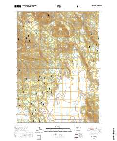
2020 Map of Dry Prairie
USGS Topo · Published 2020About this map
Fremont National Forest land dominates this high-plateau landscape in Klamath County, where water management for ranching and forest health is evidenced by numerous catchments and improved springs. The terrain is defined by volcanic features like Yainax Butte and Paddock Butte, which overlook the expansive seasonal flats of Dry Prairie. The hydrological pattern here relies on many named sources such as Mineral Spring, Nuthatch Springs, and Seven Springs to feed the livestock and wildlife in this semi-arid region. These waters eventually reach man-made improvements including O'Connor Reservoir, Dry Prairie Reservoir, and Willow Flat Reservoir. The map shows a network of forest development roads, such as Keno Springs Road, linking remote areas like Mineral Prairie and Hungry Hollow. These routes serve the timber and grazing lands, providing access to landmarks like Murray Field and the edges of the Gerber Rim.
Find a feature on this map
55 named features on this map. Tap any name to fly to it.
Don’t see what you’re looking for? This feature index may not catch every label — zoom into the map to look around manually.
Map Details
Editions of this 2020 Dry Prairie Map
This is the sole edition of this map. No revisions or reprints were ever made.
Other maps of this area

1889 · Klamath
USGS Topo · 1:250,000

1894 · Klamath
USGS Topo · 1:250,000

1955 · Klamath Falls
USGS Topo · 1:250,000

1957 · Malin
USGS Topo · 1:62,500

1958 · Klamath Falls
USGS Topo · 1:250,000

1960 · Gerber Reservoir
USGS Topo · 1:62,500

1960 · Bly
USGS Topo · 1:62,500

1960 · Beatty
USGS Topo · 1:62,500
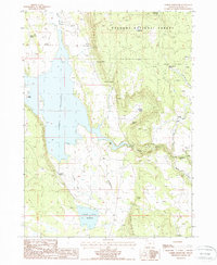
1988 · Gerber Reservoir
USGS Topo · 1:24,000
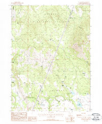
1988 · Yainax Butte
USGS Topo · 1:24,000