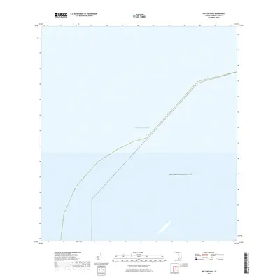
2018 Map of Dry Tortugas
USGS Topo · Published 2018About this map
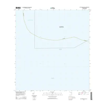
The vast expanse of the Atlantic Ocean defines this 2018 survey of the most remote waters in Monroe County. As a dedicated maritime study, the map focuses on the protected boundaries of Dry Tortugas National Park, located approximately 70 miles west of Key West. This modern cartographic record highlights the intersection of federal conservation efforts and the open sea, documenting a unique environment where the majority of the landscape remains submerged. The boundary lines provided by the U.S. Geological Survey illustrate the significant geographic extent of this oceanic sanctuary, serving as an essential reference for understanding the isolation and scale of this protected Florida keys territory.
Find a feature on this map
2 named features on this map. Tap any name to fly to it.
Don’t see what you’re looking for? This feature index may not catch every label — zoom into the map to look around manually.
Map Details
Editions of this 2018 Dry Tortugas Map
This is the sole edition of this map. No revisions or reprints were ever made.
Other maps of this area
1971 · Dry Tortugas
USGS Topo · 1:24,000

1983 · Dry Tortugas
USGS Topo · 1:100,000

1989 · Dry Tortugas
USGS Topo · 1:250,000
2012 · Dry Tortugas
USGS Topo · 1:24,000
2012 · Dry Tortugas OE S
USGS Topo · 1:24,000
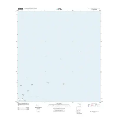
2012 · Dry Tortugas OE E
USGS Topo · 1:24,000
2012 · Dry Tortugas OE SE
USGS Topo · 1:24,000
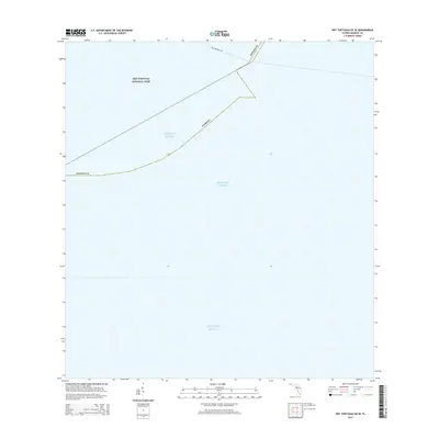
2015 · Dry Tortugas OE SE
USGS Topo · 1:24,000
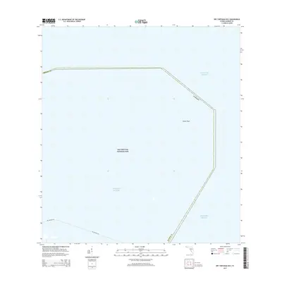
2015 · Dry Tortugas OE E
USGS Topo · 1:24,000
2015 · Dry Tortugas OE S
USGS Topo · 1:24,000