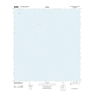
2012 Map of Dry Tortugas OE SE
USGS Topo · Published 2012About this map
Long Key and the surrounding waters of the Dry Tortugas are documented here in a remote section of Monroe County. This maritime study focuses on the open expanses of the Gulf of Mexico, specifically capturing the Southeast Channel as it navigates through the reef systems of the Florida Keys. The lack of terrestrial development emphasizes the environmental character of these outlying islands, where the natural bathymetry and nautical pathways define the geography rather than man-made infrastructure. It reflects the isolation of this westernmost extent of the Florida archipelago as it appeared in the early 21st century.
Find a feature on this map
4 named features on this map. Tap any name to fly to it.
Don’t see what you’re looking for? This feature index may not catch every label — zoom into the map to look around manually.
Map Details
Editions of this 2012 Dry Tortugas OE SE Map
This is the sole edition of this map. No revisions or reprints were ever made.
Other maps of this area
1971 · Dry Tortugas
USGS Topo · 1:24,000

1983 · Dry Tortugas
USGS Topo · 1:100,000

1989 · Dry Tortugas
USGS Topo · 1:250,000
2012 · Dry Tortugas
USGS Topo · 1:24,000
2012 · Dry Tortugas OE S
USGS Topo · 1:24,000
2012 · Dry Tortugas OE E
USGS Topo · 1:24,000
2015 · Dry Tortugas OE SE
USGS Topo · 1:24,000
2015 · Dry Tortugas OE E
USGS Topo · 1:24,000
2015 · Dry Tortugas OE S
USGS Topo · 1:24,000

2015 · Dry Tortugas
USGS Topo · 1:24,000