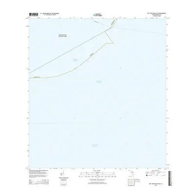
2015 Map of Dry Tortugas OE SE
USGS Topo · Published 2015About this map
The Atlantic Ocean dominates this maritime survey, illustrating the vast aquatic boundary of Florida at the southwestern tip of the keys. A portion of the Dry Tortugas National Park is visible, though the landscape is primarily defined by open water and administrative boundaries within Monroe Co. The map documents the Dry Tortugas Fry, a specific jurisdictional line or fishery boundary. Because this area consists of marine territory rather than land-based settlements, the map is a specialized resource for understanding the remote water boundaries and maritime limits of the Florida Keys in the early twenty-first century.
Find a feature on this map
5 named features on this map. Tap any name to fly to it.
Don’t see what you’re looking for? This feature index may not catch every label — zoom into the map to look around manually.
Map Details
Editions of this 2015 Dry Tortugas OE SE Map
This is the sole edition of this map. No revisions or reprints were ever made.
Other maps of this area
1971 · Dry Tortugas
USGS Topo · 1:24,000

1983 · Dry Tortugas
USGS Topo · 1:100,000

1989 · Dry Tortugas
USGS Topo · 1:250,000
2012 · Dry Tortugas
USGS Topo · 1:24,000
2012 · Dry Tortugas OE S
USGS Topo · 1:24,000
2012 · Dry Tortugas OE E
USGS Topo · 1:24,000
2012 · Dry Tortugas OE SE
USGS Topo · 1:24,000
2015 · Dry Tortugas OE E
USGS Topo · 1:24,000
2015 · Dry Tortugas OE S
USGS Topo · 1:24,000

2015 · Dry Tortugas
USGS Topo · 1:24,000