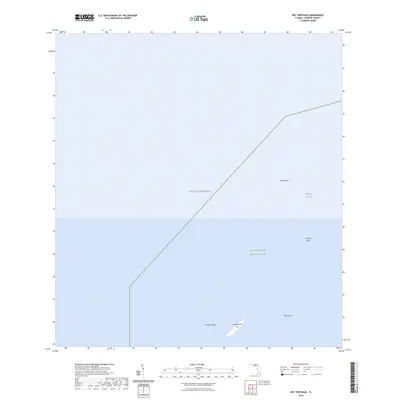
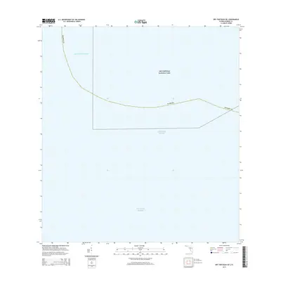
2024 Map of Dry Tortugas
USGS Topo · Published 2024About this map
Loggerhead Key and the surrounding waters of the Gulf of Mexico define this aquatic landscape within the Dry Tortugas National Park. This maritime chart highlights the complex underwater topography of the Tortugas Bank, where depths and shoals dictate the flow of the sea. Navigational features include the Northwest Channel and several significant hazards to mariners, such as Smith Shoal, Brilliant Shoal, and White Shoal. The map serves as a contemporary record of these sensitive island and reef environments in Monroe County, documenting the isolation and structural character of the westernmost extent of the Florida Keys.
Find a feature on this map
8 named features on this map. Tap any name to fly to it.
Don’t see what you’re looking for? This feature index may not catch every label — zoom into the map to look around manually.
Map Details
Editions of this 2024 Dry Tortugas Map
This is the sole edition of this map. No revisions or reprints were ever made.
Other maps of this area
1971 · Dry Tortugas
USGS Topo · 1:24,000

1983 · Dry Tortugas
USGS Topo · 1:100,000

1989 · Dry Tortugas
USGS Topo · 1:250,000
2012 · Dry Tortugas
USGS Topo · 1:24,000
2012 · Dry Tortugas OE S
USGS Topo · 1:24,000
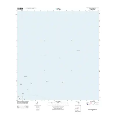
2012 · Dry Tortugas OE E
USGS Topo · 1:24,000
2012 · Dry Tortugas OE SE
USGS Topo · 1:24,000
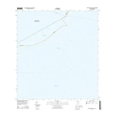
2015 · Dry Tortugas OE SE
USGS Topo · 1:24,000
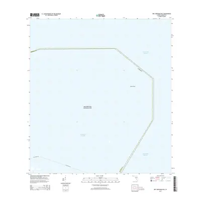
2015 · Dry Tortugas OE E
USGS Topo · 1:24,000
2015 · Dry Tortugas OE S
USGS Topo · 1:24,000