
1983 Map of Dry Tortugas
USGS Topo · Published 1984About this map
Fort Jefferson stands as the central landmark of this remote island group, surrounded by the waters of the Dry Tortugas. In the early 1980s, the area was managed as the Fort Jefferson National Monument, encompassing a cluster of coral keys including Loggerhead Key with its Lighthouse, and smaller islets like Garden Key, Bush Key, and Hospital Key. The maritime geography is defined by deep-water passages such as the Southwest Channel and Northwest Channel. To the east, the map reveals the Marquesas Keys and the Key West National Wildlife Refuge, where the landscape transitions into the Boca Grande Channel. Red protraction lines from the Minerals Management Service overlay the vast reaches of the Gulf of Mexico and the Straits of Florida, illustrating the administrative partitioning of the Outer Continental Shelf during this era of offshore resource management.
Find a feature on this map
28 named features on this map. Tap any name to fly to it.
Don’t see what you’re looking for? This feature index may not catch every label — zoom into the map to look around manually.
Map Details
Editions of this 1983 Dry Tortugas Map
This is the sole edition of this map. No revisions or reprints were ever made.
Other maps of this area

1921 · Key West
USGS Topo · 1:62,500

1943 · Cottrell Key
USGS Topo · 1:24,000

1956 · Miami
USGS Topo · 1:250,000

1958 · Miami
USGS Topo · 1:250,000

1963 · Cottrell Key
USGS Topo · 1:24,000
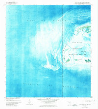
1971 · Marquesas Keys West
USGS Topo · 1:24,000
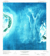
1971 · Marquesas Keys East
USGS Topo · 1:24,000
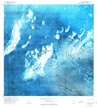
1971 · Dry Tortugas
USGS Topo · 1:24,000
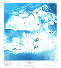
1972 · Cottrell Key
USGS Topo · 1:24,000

1981 · Cape Sable
USGS Topo · 1:100,000