
1989 Map of Dry Tortugas
USGS Topo · Published 1990About this map
Fort Jefferson National Monument stands as the central landmark of this late-century bathymetric and topographic survey, situated within the remote waters of the Gulf of Mexico. The map details the complex maritime geography at the western edge of the Florida Keys, where the shallow flats of The Quicksands meet deeper oceanic features. This dual-purpose chart illustrates the transition from terrestrial points like the Marquesas Keys to underwater formations such as the Pourtales Escarpment and Tortugas Bank. Navigational and conservation priorities are evident in the inclusion of the Key West National Wildlife Refuge and the delineation of the Three League Line. For maritime historians, the survey provides precise locations for hazardous seafloor features including Rebecca Shoal, Isaac Shoal, and Coalbin Rock, reflecting the area's long-standing importance to Caribbean shipping lanes.
Find a feature on this map
23 named features on this map. Tap any name to fly to it.
Don’t see what you’re looking for? This feature index may not catch every label — zoom into the map to look around manually.
Map Details
Editions of this 1989 Dry Tortugas Map
This is the sole edition of this map. No revisions or reprints were ever made.
Other maps of this area

1921 · Key West
USGS Topo · 1:62,500

1943 · Cottrell Key
USGS Topo · 1:24,000

1956 · Miami
USGS Topo · 1:250,000

1958 · Miami
USGS Topo · 1:250,000

1963 · Cottrell Key
USGS Topo · 1:24,000
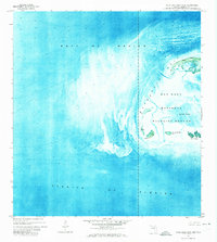
1971 · Marquesas Keys West
USGS Topo · 1:24,000
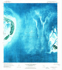
1971 · Marquesas Keys East
USGS Topo · 1:24,000
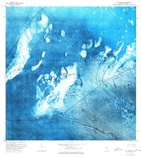
1971 · Dry Tortugas
USGS Topo · 1:24,000
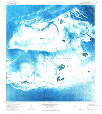
1972 · Cottrell Key
USGS Topo · 1:24,000

1981 · Cape Sable
USGS Topo · 1:100,000