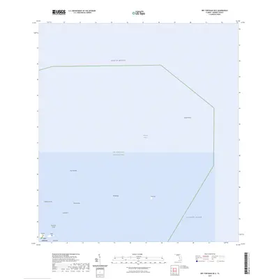
2024 Map of Dry Tortugas OE E
USGS Topo · Published 2024About this map
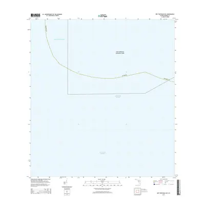
Fort Jefferson stands as the central landmark in this maritime survey, located within the protected waters of Dry Tortugas National Park. This remote archipelago at the edge of the Gulf of Mexico and the Atlantic Ocean consists of isolated keys and coral formations, including Garden Key, Bush Key, and the elongated Long Key. The map reveals a submerged landscape where maritime hazards like Pulaski Shoal and Middle Ground necessitate careful navigation.
Find a feature on this map
16 named features on this map. Tap any name to fly to it.
Don’t see what you’re looking for? This feature index may not catch every label — zoom into the map to look around manually.
Map Details
Editions of this 2024 Dry Tortugas OE E Map
This is the sole edition of this map. No revisions or reprints were ever made.
Other maps of this area
1971 · Dry Tortugas
USGS Topo · 1:24,000

1983 · Dry Tortugas
USGS Topo · 1:100,000

1989 · Dry Tortugas
USGS Topo · 1:250,000
2012 · Dry Tortugas
USGS Topo · 1:24,000
2012 · Dry Tortugas OE S
USGS Topo · 1:24,000
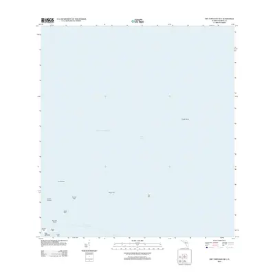
2012 · Dry Tortugas OE E
USGS Topo · 1:24,000
2012 · Dry Tortugas OE SE
USGS Topo · 1:24,000
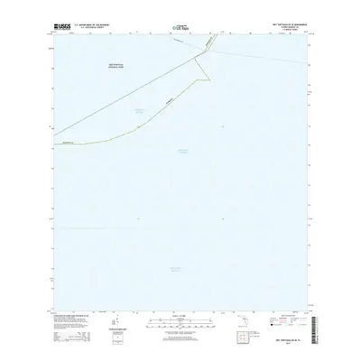
2015 · Dry Tortugas OE SE
USGS Topo · 1:24,000
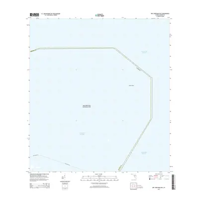
2015 · Dry Tortugas OE E
USGS Topo · 1:24,000
2015 · Dry Tortugas OE S
USGS Topo · 1:24,000