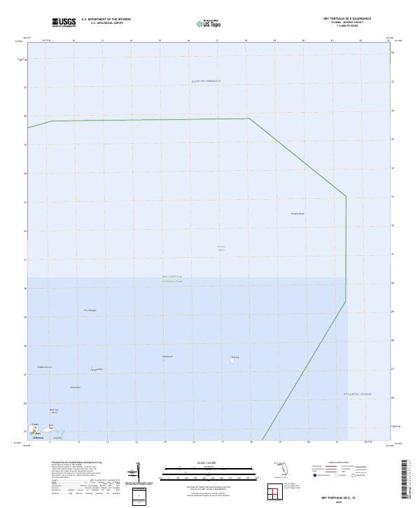
2025 Map of Dry Tortugas OE E
USGS Topo · Published 2025About this map
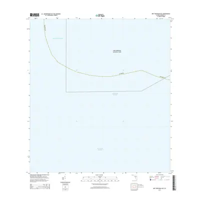
Fort Jefferson stands as the primary landmark on this maritime survey, situated on Garden Key within the expansive Dry Tortugas National Park. This 2025 USGS update illustrates the delicate geography of the lower Florida Keys, where small islets and hazardous shoals define the navigation of the Gulf of America and the Atlantic Ocean. The map charts several critical keys, including Hospital Key, Middle Key, and East Key, alongside treacherous underwater features like Pulaski Shoal and Bush Key Shoal. These low-lying features create protected waters such as Northkey Harbor, highlighting the complex reef system. The spatial relationship between Bush Key, Long Key, and the massive masonry structure of the fort underscores the strategic importance of this isolated archipelago, serving as a modern reference for the changing shorelines of these vulnerable coral islands.
Find a feature on this map
16 named features on this map. Tap any name to fly to it.
Don’t see what you’re looking for? This feature index may not catch every label — zoom into the map to look around manually.
Map Details
Editions of this 2025 Dry Tortugas OE E Map
This is the sole edition of this map. No revisions or reprints were ever made.
Other maps of this area
1971 · Dry Tortugas
USGS Topo · 1:24,000

1983 · Dry Tortugas
USGS Topo · 1:100,000

1989 · Dry Tortugas
USGS Topo · 1:250,000
2012 · Dry Tortugas
USGS Topo · 1:24,000
2012 · Dry Tortugas OE S
USGS Topo · 1:24,000
2012 · Dry Tortugas OE E
USGS Topo · 1:24,000
2012 · Dry Tortugas OE SE
USGS Topo · 1:24,000
2015 · Dry Tortugas OE SE
USGS Topo · 1:24,000
2015 · Dry Tortugas OE E
USGS Topo · 1:24,000
2015 · Dry Tortugas OE S
USGS Topo · 1:24,000