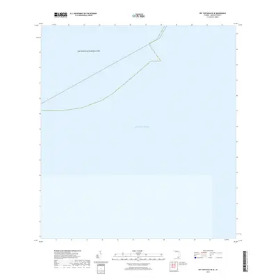
2018 Map of Dry Tortugas OE SE
USGS Topo · Published 2018About this map
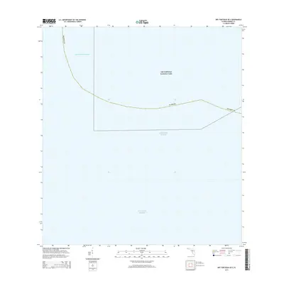
Dry Tortugas National Park encompasses the majority of this maritime survey, illustrating the protected waters at the westernmost end of the Florida Keys. The map is defined by the open expanse of the Atlantic Ocean, with bathymetric and topographic data omitted to reflect the purely nautical and conservation-focused boundary of this remote marine sanctuary. This edition primarily serves to delineate the administrative boundaries of the park, showing where the managed wilderness meets the broader ocean. It captures the region as it was monitored in the late 2010s, focusing on the preservation of these unique coral and seagrass habitats.
Find a feature on this map
2 named features on this map. Tap any name to fly to it.
Don’t see what you’re looking for? This feature index may not catch every label — zoom into the map to look around manually.
Map Details
Editions of this 2018 Dry Tortugas OE SE Map
This is the sole edition of this map. No revisions or reprints were ever made.
Other maps of this area
1971 · Dry Tortugas
USGS Topo · 1:24,000

1983 · Dry Tortugas
USGS Topo · 1:100,000

1989 · Dry Tortugas
USGS Topo · 1:250,000
2012 · Dry Tortugas
USGS Topo · 1:24,000
2012 · Dry Tortugas OE S
USGS Topo · 1:24,000
2012 · Dry Tortugas OE E
USGS Topo · 1:24,000
2012 · Dry Tortugas OE SE
USGS Topo · 1:24,000
2015 · Dry Tortugas OE SE
USGS Topo · 1:24,000
2015 · Dry Tortugas OE E
USGS Topo · 1:24,000
2015 · Dry Tortugas OE S
USGS Topo · 1:24,000