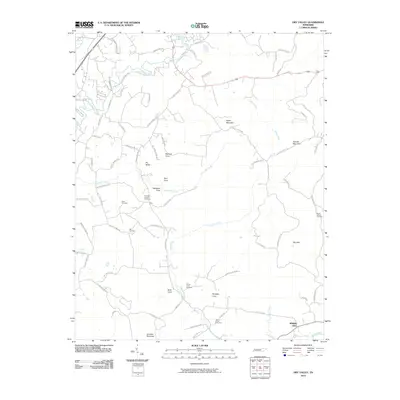
2010 Map of Dry Valley
USGS Topo · Published 2010About this map
The Falling Water River and its numerous tributaries define the geography of this Putnam County landscape. The area is characterized by a high concentration of topographic coves, including Robison Cove, Whittaker Cove, and Mott Cove, which reflect a complex erosion pattern typical of the Cumberland Plateau's western edge. Local history is anchored by several family and community burial grounds such as Robinson Chapel Cemetery and Nash Cemetery, positioned along the winding routes of Mount Herman Rd and Cherry Creek Rd.
Find a feature on this map
79 named features on this map. Tap any name to fly to it.
Don’t see what you’re looking for? This feature index may not catch every label — zoom into the map to look around manually.
Map Details
Editions of this 2010 Dry Valley Map
This is the sole edition of this map. No revisions or reprints were ever made.
Other maps of this area

1892 · Pikeville
USGS Topo · 1:125,000

1893 · Mc Minnville
USGS Topo · 1:125,000

1895 · Mc Minnville
USGS Topo · 1:125,000

1895 · Pikeville
USGS Topo · 1:125,000

1897 · Standingstone
USGS Topo · 1:125,000

1898 · Standingstone
USGS Topo · 1:125,000

1943 · Cookeville
USGS Topo · 1:100,000

1944 · Cookeville
USGS Topo · 1:100,000

1953 · Chattanooga
USGS Topo · 1:250,000

1953 · Cookeville East
USGS Topo · 1:24,000