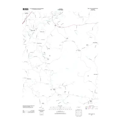
2013 Map of Dry Valley
USGS Topo · Published 2013About this map
Falling Water River carves through the landscape northeast of Cookeville, defining a region characterized by deep coves and rising peaks. In this early 21st-century topography, the residential developments of Hillwood and Wagonda Hills sit near the river’s upper reaches, while the City Lake reservoir provides a central water feature for the surrounding community. The map reveals a transition from these clustered neighborhoods to the more dispersed agricultural and rural homesteads found at Maddux Farm and Goffton.
Find a feature on this map
127 named features on this map. Tap any name to fly to it.
Don’t see what you’re looking for? This feature index may not catch every label — zoom into the map to look around manually.
Map Details
Editions of this 2013 Dry Valley Map
This is the sole edition of this map. No revisions or reprints were ever made.
Other maps of this area

1892 · Pikeville
USGS Topo · 1:125,000

1893 · Mc Minnville
USGS Topo · 1:125,000

1895 · Mc Minnville
USGS Topo · 1:125,000

1895 · Pikeville
USGS Topo · 1:125,000

1897 · Standingstone
USGS Topo · 1:125,000

1898 · Standingstone
USGS Topo · 1:125,000

1943 · Cookeville
USGS Topo · 1:100,000

1944 · Cookeville
USGS Topo · 1:100,000

1953 · Chattanooga
USGS Topo · 1:250,000

1953 · Cookeville East
USGS Topo · 1:24,000