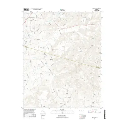
2016 Map of Dry Valley
USGS Topo · Published 2016About this map
Falling Water River and the eastern outskirts of Cookeville anchor this landscape, where the plateau begins to break into a series of secluded coves. This 2016 survey illustrates the persistent rural character of the Tennessee Highlands, defined by family-named landmarks and small burial grounds like Robinson Chapel Cem and Burgess Creek Cem. The terrain is shaped by dramatic karst and mountain features, including the Big Sink and elevations like Phifer Mtn and Goulden Mtn. Small settlements such as Goffton, Board Valley, and Dry Valley are connected by a network of winding roads that follow the contours of the limestone-carved valleys. The presence of numerous cemeteries, such as Nash Cem and Hill Cem, provides significant value for genealogists tracing families in the Putnam and White county borderlands.
Find a feature on this map
111 named features on this map. Tap any name to fly to it.
Don’t see what you’re looking for? This feature index may not catch every label — zoom into the map to look around manually.
Map Details
Editions of this 2016 Dry Valley Map
This is the sole edition of this map. No revisions or reprints were ever made.
Other maps of this area

1892 · Pikeville
USGS Topo · 1:125,000

1893 · Mc Minnville
USGS Topo · 1:125,000

1895 · Mc Minnville
USGS Topo · 1:125,000

1895 · Pikeville
USGS Topo · 1:125,000

1897 · Standingstone
USGS Topo · 1:125,000

1898 · Standingstone
USGS Topo · 1:125,000

1943 · Cookeville
USGS Topo · 1:100,000

1944 · Cookeville
USGS Topo · 1:100,000

1953 · Chattanooga
USGS Topo · 1:250,000

1953 · Cookeville East
USGS Topo · 1:24,000