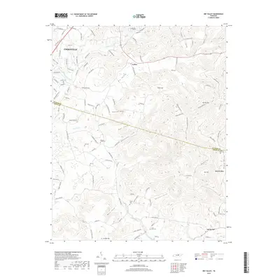
2019 Map of Dry Valley
USGS Topo · Published 2019About this map
Dry Valley serves as a prominent geographic corridor through this section of the Tennessee landscape, where the Putnam and White county lines intersect. The terrain is defined by a dense network of named coves and peaks, including Phifer Mtn and the geological curiosity of Big Sink. Family history is deeply rooted here, evidenced by numerous small burial sites such as the Bartlett Graveyard, Robinson Chapel Cem, and Nash Cem. The rural settlement pattern is anchored by small communities like Goffton and Board Valley, with the Falling Water River and Post Oak Cr providing the primary drainage for the area's intricate ridges. The map captures a mix of longstanding agricultural hollows and the suburban edges of Cookeville appearing in the northwest corner, showing the modernization of historical crossroads.
Find a feature on this map
107 named features on this map. Tap any name to fly to it.
Don’t see what you’re looking for? This feature index may not catch every label — zoom into the map to look around manually.
Map Details
Editions of this 2019 Dry Valley Map
This is the sole edition of this map. No revisions or reprints were ever made.
Other maps of this area

1892 · Pikeville
USGS Topo · 1:125,000

1893 · Mc Minnville
USGS Topo · 1:125,000

1895 · Mc Minnville
USGS Topo · 1:125,000

1895 · Pikeville
USGS Topo · 1:125,000

1897 · Standingstone
USGS Topo · 1:125,000

1898 · Standingstone
USGS Topo · 1:125,000

1943 · Cookeville
USGS Topo · 1:100,000

1944 · Cookeville
USGS Topo · 1:100,000

1953 · Chattanooga
USGS Topo · 1:250,000

1953 · Cookeville East
USGS Topo · 1:24,000