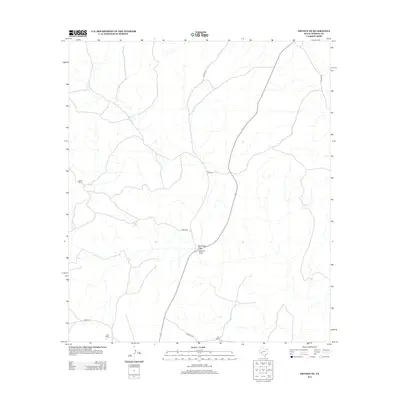
2012 Map of Dryden NE
USGS Topo · Published 2012About this map
James Ranch and other family holdings define this high desert corner of Terrell County in the early twenty-first century. The landscape is characterized by its drainage network, notably Eightmile Draw and Downie Draw, which dictate the local topography and the placement of transportation routes. A sparse network of unpaved roads provides the only access across this arid terrain, with James Rd and Stavely Rd connecting isolated outposts like Kerr Ranch and Bell Ranch. This survey reflects a persistent ranching economy where property boundaries and water drainage are the primary markers of human presence. The reliance on named draws and ranch-to-market style roads highlights the enduring isolation of the Trans-Pecos region, where every named feature serves as a critical navigation point.
Find a feature on this map
10 named features on this map. Tap any name to fly to it.
Don’t see what you’re looking for? This feature index may not catch every label — zoom into the map to look around manually.
Map Details
Editions of this 2012 Dryden NE Map
This is the sole edition of this map. No revisions or reprints were ever made.
Other maps of this area

1928 · Sanderson
USGS Topo · 1:125,000

1954 · Fort Stockton
USGS Topo · 1:250,000

1954 · Sonora
USGS Topo · 1:250,000

1958 · Sonora
USGS Topo · 1:250,000

1958 · Fort Stockton
USGS Topo · 1:250,000

1968 · Dryden
USGS Topo · 1:24,000

1969 · Mofeta
USGS Topo · 1:24,000

1969 · Continental Ranch
USGS Topo · 1:24,000

1969 · Dryden NE
USGS Topo · 1:24,000

1969 · Dryden NW
USGS Topo · 1:24,000