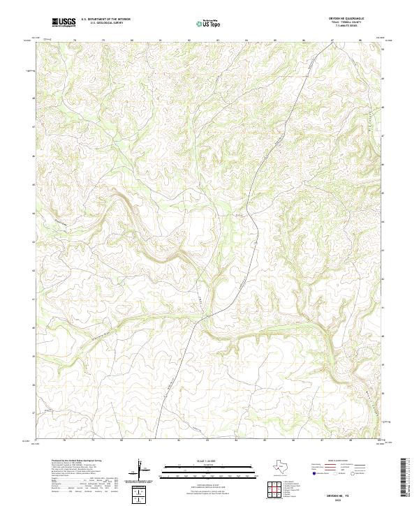
2022 Map of Dryden NE
USGS Topo · Published 2022About this map
Deep desert drainages define this portion of the Trans-Pecos, where the arid landscape is carved by substantial ephemeral watercourses. Downie Draw and Eightmile Draw dominate the western and central reaches, funneling seasonal runoff through a network of complex contours. These features illustrate the natural hydrology of Terrell County, showing how water has historically shaped the terrain long before modern infrastructure arrived.
Find a feature on this map
10 named features on this map. Tap any name to fly to it.
Don’t see what you’re looking for? This feature index may not catch every label — zoom into the map to look around manually.
Map Details
Editions of this 2022 Dryden NE Map
This is the sole edition of this map. No revisions or reprints were ever made.
Other maps of this area

1928 · Sanderson
USGS Topo · 1:125,000

1954 · Fort Stockton
USGS Topo · 1:250,000

1954 · Sonora
USGS Topo · 1:250,000

1958 · Sonora
USGS Topo · 1:250,000

1958 · Fort Stockton
USGS Topo · 1:250,000

1968 · Dryden
USGS Topo · 1:24,000

1969 · Mofeta
USGS Topo · 1:24,000

1969 · Continental Ranch
USGS Topo · 1:24,000

1969 · Dryden NE
USGS Topo · 1:24,000

1969 · Dryden NW
USGS Topo · 1:24,000