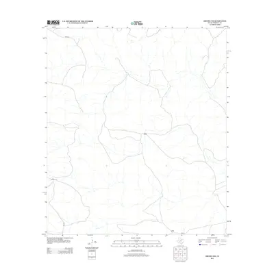
2012 Map of Dryden NW
USGS Topo · Published 2012About this map
King Springs serves as a vital water source in this arid stretch of Terrell County, anchored by established ranching outposts in the West Texas scrubland. The landscape is defined by its isolation and the practical infrastructure of the cattle industry, with Mitchell Ranch, Wood Ranch, and Odom Ranch forming the primary hubs of human activity. These properties are connected by a sparse network of unpaved tracks, including James Rd, Dyer Rd, and Odom Rd, reflecting a traditional ranching economy that has persisted into the 21st century. The map provides a look at the land use and water management necessary for survival in this high desert environment, where named springs and private ranch holdings are the most significant landmarks for local history and property research.
Find a feature on this map
7 named features on this map. Tap any name to fly to it.
Don’t see what you’re looking for? This feature index may not catch every label — zoom into the map to look around manually.
Map Details
Editions of this 2012 Dryden NW Map
This is the sole edition of this map. No revisions or reprints were ever made.
Other maps of this area

1928 · Sanderson
USGS Topo · 1:125,000

1954 · Fort Stockton
USGS Topo · 1:250,000

1958 · Fort Stockton
USGS Topo · 1:250,000

1968 · Dryden
USGS Topo · 1:24,000

1969 · Sanderson SE
USGS Topo · 1:24,000

1969 · Big Canyon Ranch
USGS Topo · 1:24,000

1969 · Mofeta
USGS Topo · 1:24,000

1969 · Continental Ranch
USGS Topo · 1:24,000

1969 · Dryden NE
USGS Topo · 1:24,000

1969 · Dryden NW
USGS Topo · 1:24,000