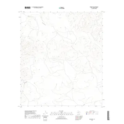
2019 Map of Dryden NW
USGS Topo · Published 2019About this map
King Springs serves as a critical water source in this arid corner of Terrell County, where the landscape is defined by the deep incisions of intermittent drainage systems. The natural topography is dominated by the winding paths of Downie Draw in the north and Eightmile Draw to the west, illustrating how water has historically shaped the trans-Pecos terrain. Human presence is sparse and dictated by the geography, with only a few unpaved corridors such as James Rd and Odom Rd providing access through the high plateaus and canyon-like breaks. This 2019 survey captures the area's enduring character as a remote ranching or conservation landscape where natural features like the springs remain the most significant landmarks for navigation and land use.
Find a feature on this map
5 named features on this map. Tap any name to fly to it.
Don’t see what you’re looking for? This feature index may not catch every label — zoom into the map to look around manually.
Map Details
Editions of this 2019 Dryden NW Map
This is the sole edition of this map. No revisions or reprints were ever made.
Other maps of this area

1928 · Sanderson
USGS Topo · 1:125,000

1954 · Fort Stockton
USGS Topo · 1:250,000

1958 · Fort Stockton
USGS Topo · 1:250,000

1968 · Dryden
USGS Topo · 1:24,000

1969 · Sanderson SE
USGS Topo · 1:24,000

1969 · Big Canyon Ranch
USGS Topo · 1:24,000

1969 · Mofeta
USGS Topo · 1:24,000

1969 · Continental Ranch
USGS Topo · 1:24,000

1969 · Dryden NE
USGS Topo · 1:24,000

1969 · Dryden NW
USGS Topo · 1:24,000