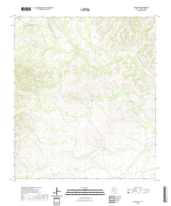
2022 Map of Dryden NW
USGS Topo · Published 2022About this map
King Springs stands as a vital water source in this arid corner of Terrell County, surrounded by a complex landscape of winding drainage systems and plateaus. The topography is largely defined by the presence of Downie Draw, which meanders through the northern section of the map. This area remains largely undeveloped, characterized by a network of ranch roads and private tracks such as James Rd in the west and Odom Rd to the south. The contour lines reveal a deeply etched terrain where natural water runoff patterns dictate the placement of these few primitive access routes, reflecting the enduring isolation and topographical challenges of the Trans-Pecos region in West Texas.
Find a feature on this map
4 named features on this map. Tap any name to fly to it.
Don’t see what you’re looking for? This feature index may not catch every label — zoom into the map to look around manually.
Map Details
Editions of this 2022 Dryden NW Map
This is the sole edition of this map. No revisions or reprints were ever made.
Other maps of this area

1928 · Sanderson
USGS Topo · 1:125,000

1954 · Fort Stockton
USGS Topo · 1:250,000

1958 · Fort Stockton
USGS Topo · 1:250,000

1968 · Dryden
USGS Topo · 1:24,000

1969 · Sanderson SE
USGS Topo · 1:24,000

1969 · Big Canyon Ranch
USGS Topo · 1:24,000

1969 · Mofeta
USGS Topo · 1:24,000

1969 · Continental Ranch
USGS Topo · 1:24,000

1969 · Dryden NE
USGS Topo · 1:24,000

1969 · Dryden NW
USGS Topo · 1:24,000