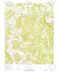
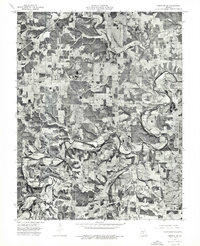
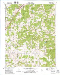
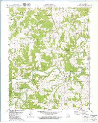
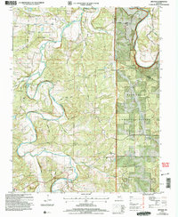
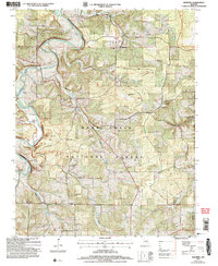
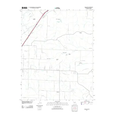
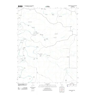
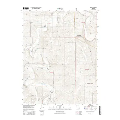
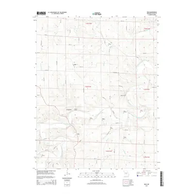
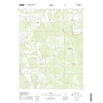
1954 Map of Drynob
USGS Topo · Published 1966About this map
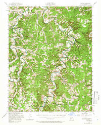
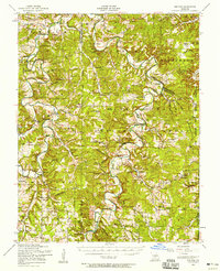
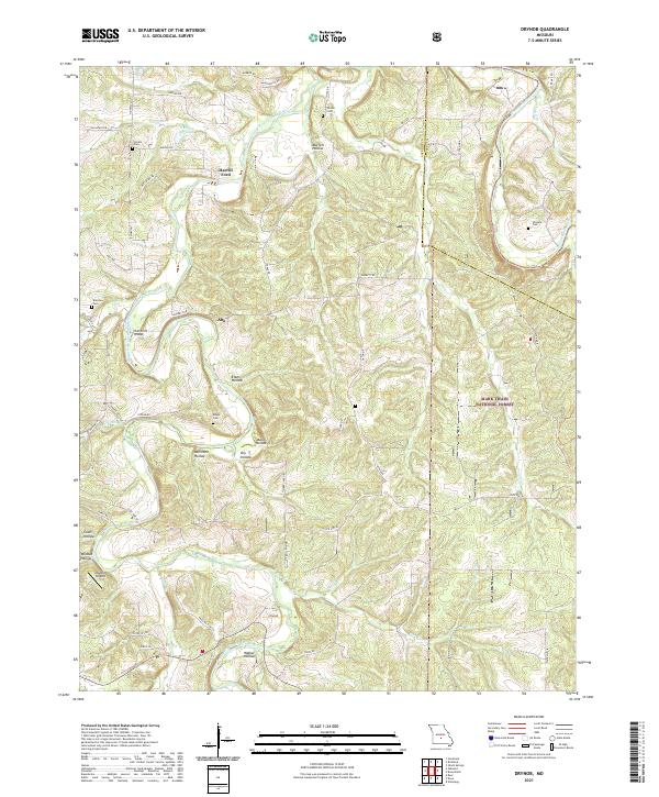
Gasconade River and Osage Fork wind through a landscape defined by the expansive Mark Twain National Forest and the Fort Leonard Wood Military Reservation. This mid-century survey reveals the dense social fabric of the Ozarks before later consolidation, marking numerous country schools and churches that served rural Missouri families. Many educational centers such as Stockdale School and Success School are explicitly noted as abandoned, signaling a period of demographic shift. Small settlements like Drynob and Abo act as local anchors, while dozens of family-named burial grounds, including Wrinkle Cemetery and Bohanun Cemetery, offer significant data for genealogical research. The river-and-ridge geography is further detailed by landmarks like the Lookout Tower and local crossings such as Lambeth Bridge and Hill Ford Bridge.
Find a feature on this map
83 named features on this map. Tap any name to fly to it.
Don’t see what you’re looking for? This feature index may not catch every label — zoom into the map to look around manually.
Map Details
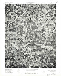
Editions of this 1954 Drynob Map
2 editions found
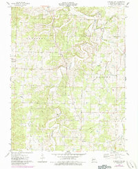
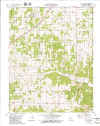
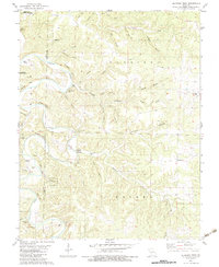
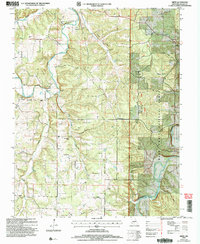
Historical Maps of Abo Through Time
49 maps found
1943 Drynob
Laclede County, MO
1954 Drew
Laclede County, MO
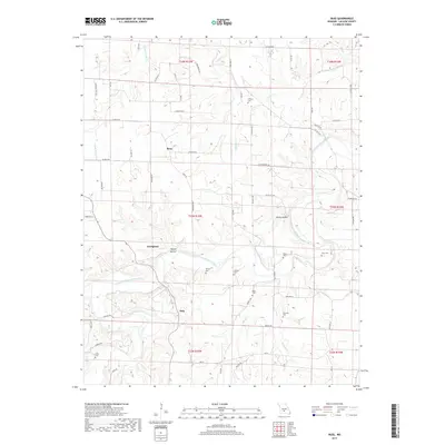
1954 Drynob
Laclede County, MO
1954 Drynob
Laclede County, MO
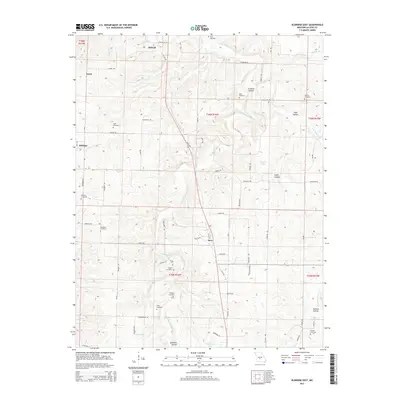
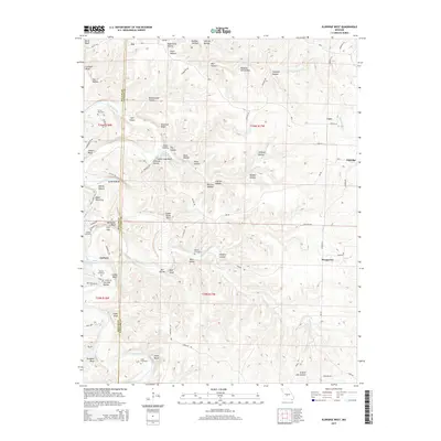
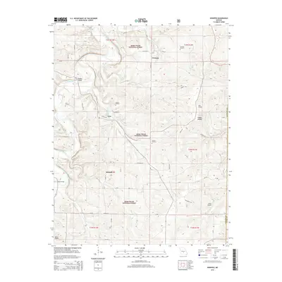
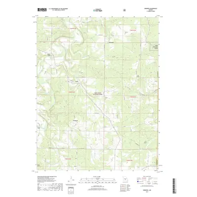
1954 Winnipeg
Laclede County, MO
1975 Lebanon NE
Laclede County, MO
1975 Lebanon NW
Laclede County, MO
1975 Lebanon SE
Laclede County, MO
1975 Lebanon SW
Laclede County, MO
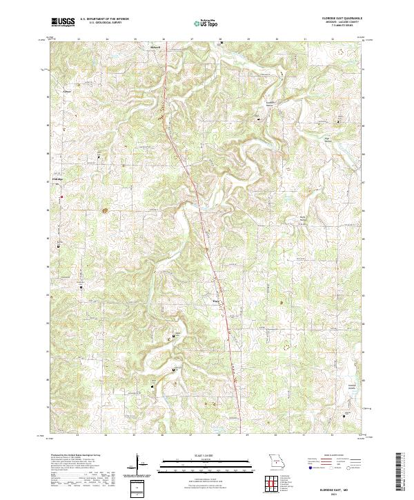
1976 Eldridge East
Laclede County, MO
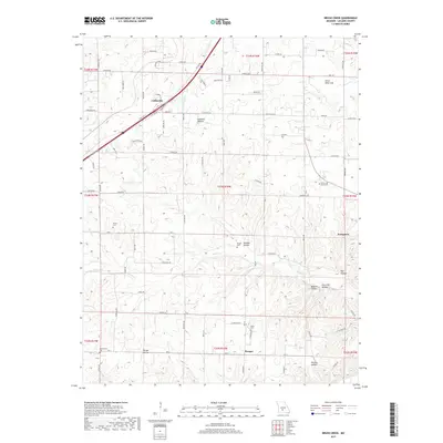
1979 Brush Creek
Laclede County, MO
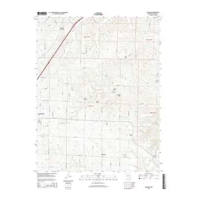
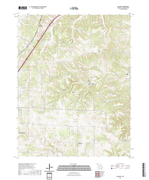
1979 Oakland
Laclede County, MO
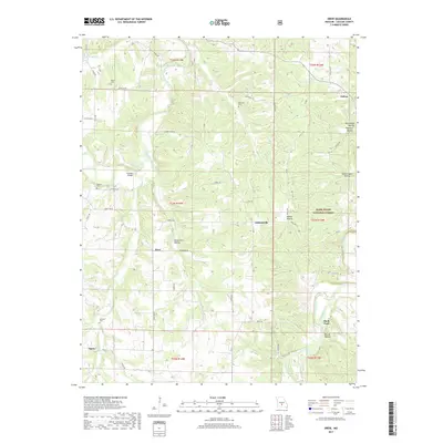
1979 Russ
Laclede County, MO
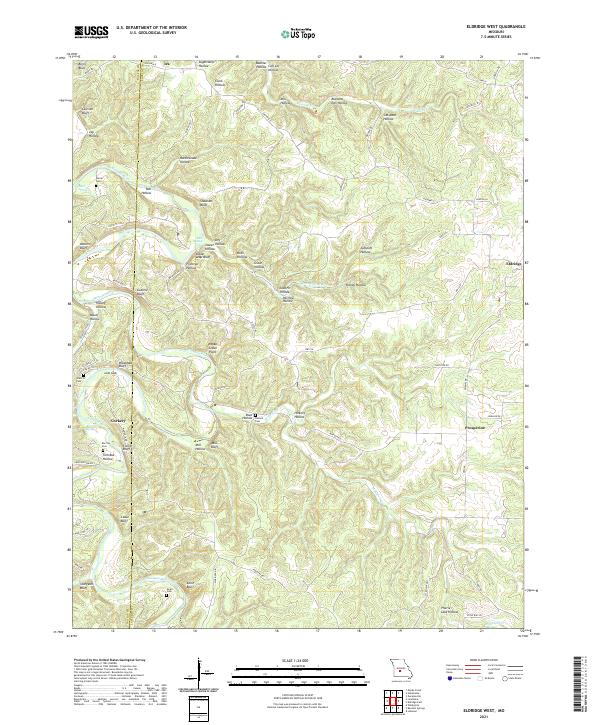
1982 Eldridge West
Laclede County, MO
2004 Drew
Laclede County, MO
2004 Drynob
Laclede County, MO
2004 Winnipeg
Laclede County, MO
2011 Brush Creek
Laclede County, MO
2011 Eldridge East
Laclede County, MO
2011 Oakland
Laclede County, MO
2011 Russ
Laclede County, MO
2012 Drew
Laclede County, MO
2012 Drynob
Laclede County, MO
2012 Eldridge West
Laclede County, MO
2012 Winnipeg
Laclede County, MO
2015 Brush Creek
Laclede County, MO
2015 Drew
Laclede County, MO
2015 Drynob
Laclede County, MO
2015 Eldridge East
Laclede County, MO
2015 Eldridge West
Laclede County, MO
2015 Oakland
Laclede County, MO
2015 Russ
Laclede County, MO
2015 Winnipeg
Laclede County, MO
2017 Brush Creek
Laclede County, MO
2017 Drew
Laclede County, MO
2017 Drynob
Laclede County, MO
2017 Eldridge East
Laclede County, MO
2017 Eldridge West
Laclede County, MO
2017 Oakland
Laclede County, MO
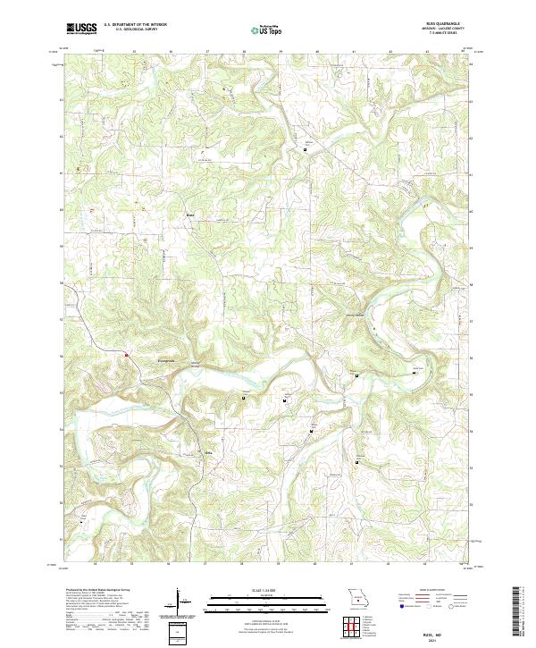
2017 Russ
Laclede County, MO
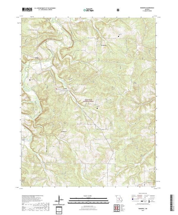
2017 Winnipeg
Laclede County, MO
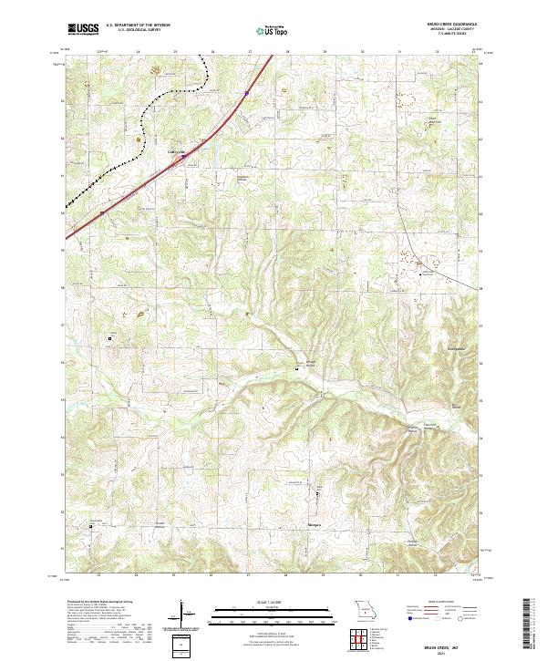
2021 Brush Creek
Laclede County, MO
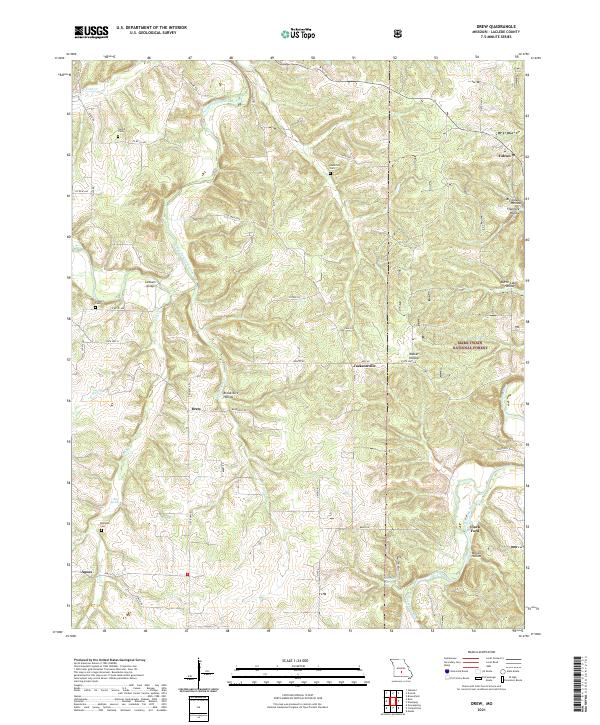
2021 Drew
Laclede County, MO
2021 Drynob
Laclede County, MO
2021 Eldridge East
Laclede County, MO
2021 Eldridge West
Laclede County, MO
2021 Oakland
Laclede County, MO
2021 Russ
Laclede County, MO
2021 Winnipeg
Laclede County, MO