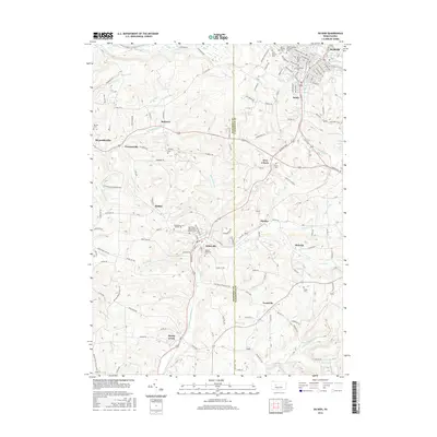
2016 Map of Du Bois
USGS Topo · Published 2016About this map
The Jefferson Co and Clearfield Co border divides this 2016 survey, where the urban outskirts of Dubois meet the creek-cut valleys of Western Pennsylvania. The landscape is defined by its industrial and ecclesiastical roots, with significant settlements like Sykesville, Reynoldsville, and Troutville dotting the terrain. Many of these communities are anchored by extensive cemeteries such as Saint Catherine of Siena Cem and Saint Michael Cem, suggesting long-established parish histories.
Find a feature on this map
131 named features on this map. Tap any name to fly to it.
Don’t see what you’re looking for? This feature index may not catch every label — zoom into the map to look around manually.
Map Details
Editions of this 2016 Du Bois Map
This is the sole edition of this map. No revisions or reprints were ever made.
Other maps of this area

1903 · Curwensville
USGS Topo · 1:62,500

1906 · Punxsutawney
USGS Topo · 1:62,500

1922 · Du Bois
USGS Topo · 1:62,500

1924 · Du Bois
USGS Topo · 1:62,500

1929 · Penfield
USGS Topo · 1:62,500

1932 · Penfield
USGS Topo · 1:62,500

1939 · Curwensville
USGS Topo · 1:62,500

1939 · Punxsutawney
USGS Topo · 1:62,500

1942 · Curwensville
USGS Topo · 1:62,500

1942 · Punxsutawney
USGS Topo · 1:62,500