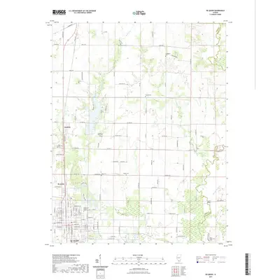
2021 Map of Du Quoin
USGS Topo · Published 2021About this map
The southern Illinois community of Du Quoin is the central hub of this contemporary survey, surrounded by the smaller settlements of St. Johns and Sunfield. The landscape is a structured grid of rural roads named for native birds, such as Pintail Rd, Golden Plover Rd, and Starling Rd. Genealogists will find a high concentration of burial sites, including the Independent Order of Oddfellows Cem and several smaller family or church plots like Williams Cem and Jones Cem.
Find a feature on this map
116 named features on this map. Tap any name to fly to it.
Don’t see what you’re looking for? This feature index may not catch every label — zoom into the map to look around manually.
Map Details
Editions of this 2021 Du Quoin Map
This is the sole edition of this map. No revisions or reprints were ever made.
Other maps of this area

1910 · Herrin
USGS Topo · 1:62,500

1910 · Murphysboro
USGS Topo · 1:62,500

1924 · Pinckneyville
USGS Topo · 1:62,500

1926 · Pinckneyville
USGS Topo · 1:62,500

1926 · Duquoin
USGS Topo · 1:62,500

1936 · Herrin
USGS Topo · 1:62,500

1938 · Murphysboro
USGS Topo · 1:62,500

1949 · Paducah
USGS Topo · 1:250,000

1950 · Paducah
USGS Topo · 1:250,000

1954 · Paducah
USGS Topo · 1:250,000