2024 Map of Du Quoin
USGS Topo · Published 2024About this map
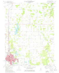
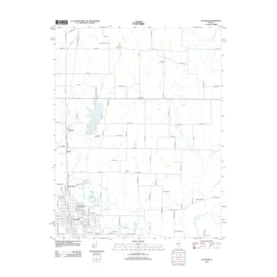
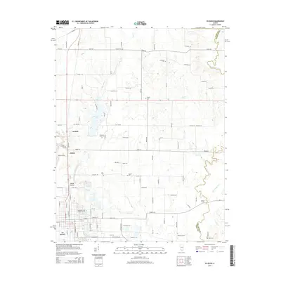
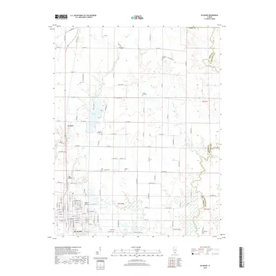
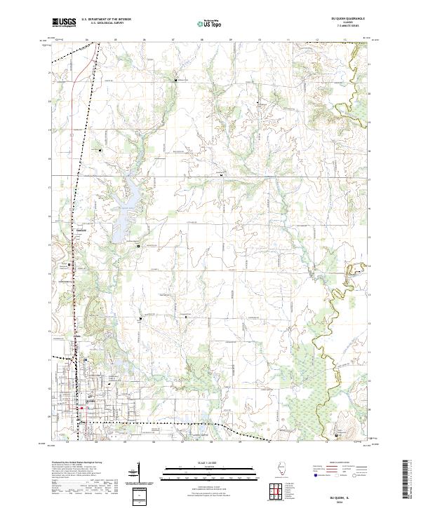
Du Quoin serves as the primary urban center in this southern Illinois landscape, where the street grid expands north toward St. Johns and Sunfield. The territory is defined by its transition from the built environment of the city to the drainage basins of Reese Creek and the Little Muddy River. This 2024 survey illustrates a region with deep community roots, evidenced by the high density of family and fraternal burial grounds such as the Independent Order of Oddfellows Cem, Williams Cem, and Reid-Kirkpatrick Cem.
Find a feature on this map
58 named features on this map. Tap any name to fly to it.
Don’t see what you’re looking for? This feature index may not catch every label — zoom into the map to look around manually.
Map Details
Editions of this 2024 Du Quoin Map
This is the sole edition of this map. No revisions or reprints were ever made.
Historical Maps of Du Quoin Through Time
6 maps found