
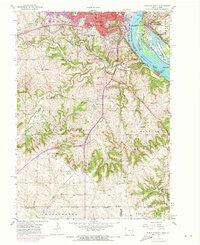
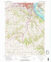
1955 Map of Dubuque South
USGS Topo · Published 1957About this map
Dubuque sits as a bustling river hub in this mid-century survey, its urban core dense with institutions like Mercy Hospital, Finley Hospital, and the University of Dubuque. Across the Mississippi River, linked by the Julien Dubuque Bridge, the landscape shifts toward the wetlands of the Upper Mississippi River Wildlife and Fish Refuge and the riverside tracks of the Chicago Milwaukee St Paul and Pacific railroad.
Find a feature on this map
63 named features on this map. Tap any name to fly to it.
Don’t see what you’re looking for? This feature index may not catch every label — zoom into the map to look around manually.
Map Details
Editions of this 1955 Dubuque South Map
3 editions found
Other maps of this area

1900 · Lancaster
USGS Topo · 1:125,000

1901 · Peosta
USGS Topo · 1:125,000

1904 · Lancaster
USGS Topo · 1:125,000

1908 · Lancaster
USGS Topo · 1:125,000

1935 · East Dubuque
USGS Topo · 1:62,500

1940 · East Dubuque
USGS Topo · 1:62,500

1955 · Menominee
USGS Topo · 1:24,000

1956 · Dubuque North
USGS Topo · 1:24,000

1956 · Sherrill
USGS Topo · 1:24,000

1959 · Dubuque
USGS Topo · 1:250,000