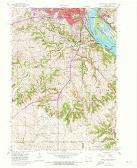
1955 Map of Dubuque South
USGS Topo · Published 1973About this map
The Mississippi River defines the eastern edge of this region, serving as both a state boundary and a corridor for heavy industry and conservation. In the mid-1950s, the landscape around Dubuque was a complex mix of urban density and rural transition, where the Illinois Central and Chicago Milwaukee St Paul and Pacific railroads traced the riverbanks and winding valleys. The map illustrates the city's southward expansion toward Key West and Rockdale, punctuated by institutions like the University of Dubuque and Wartburg Seminary. Further south, the terrain becomes increasingly fractured by Catfish Creek and its tributaries, revealing a pattern of rural education and faith seen in the many distributed schools like Christman Sch and Salem Sch. The presence of numerous Quarries and the Dubuque Municipal Airport indicates a landscape being actively reshaped for modern transport and material extraction.
Find a feature on this map
55 named features on this map. Tap any name to fly to it.
Don’t see what you’re looking for? This feature index may not catch every label — zoom into the map to look around manually.
Map Details
Editions of this 1955 Dubuque South Map
3 editions found
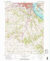
Other maps of this area

1900 · Lancaster
USGS Topo · 1:125,000

1901 · Peosta
USGS Topo · 1:125,000

1904 · Lancaster
USGS Topo · 1:125,000

1908 · Lancaster
USGS Topo · 1:125,000

1935 · East Dubuque
USGS Topo · 1:62,500

1940 · East Dubuque
USGS Topo · 1:62,500

1955 · Menominee
USGS Topo · 1:24,000

1955 · Dubuque South
USGS Topo · 1:24,000

1956 · Dubuque North
USGS Topo · 1:24,000

1956 · Sherrill
USGS Topo · 1:24,000