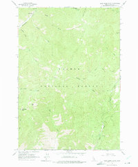
1963 Map of Duck Creek Point
USGS Topo · Published 1975About this map
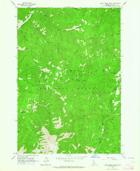
Salmon National Forest defines the high-altitude landscape of Lemhi County in this early 1960s survey. The terrain is centered on the prominent Duck Creek Point and its neighboring Duck Peak, where a fire Lookout stands watch over a network of drainages including Duck Creek and Rams Creek. The map documents a sparsely populated but active wilderness area, where remote Prospect and Mine symbols indicate the region's enduring connection to mineral exploration.
Find a feature on this map
25 named features on this map. Tap any name to fly to it.
Don’t see what you’re looking for? This feature index may not catch every label — zoom into the map to look around manually.
Map Details
Editions of this 1963 Duck Creek Point Map
2 editions found
Other maps of this area

1930 · Casto
USGS Topo · 1:125,000

1950 · Blackbird Mtn
USGS Topo · 1:62,500

1951 · Blackbird Mtn
USGS Topo · 1:62,500

1956 · Elk City
USGS Topo · 1:250,000

1957 · Challis
USGS Topo · 1:250,000

1960 · Elk City
USGS Topo · 1:250,000

1960 · Challis
USGS Topo · 1:250,000

1962 · Hoodoo Meadows
USGS Topo · 1:24,000

1963 · Challis
USGS Topo · 1:250,000

1963 · Meyers Cove
USGS Topo · 1:24,000